alb4205523
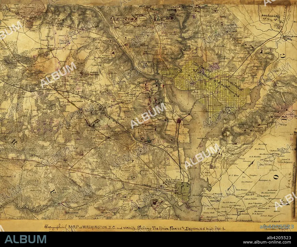
Washington, D. C., Showing the Union forts and defenses
| Teilen |
|---|
 Pinterest Pinterest |
 Twitter Twitter |
 Facebook Facebook |
 Link kopieren Link kopieren |
 Email Email |
|
Zu einem anderen Lightbox hinzufügen |
|
Zu einem anderen Lightbox hinzufügen |


Haben Sie bereits ein Konto? Anmelden
Sie haben kein Konto? Registrieren
Dieses Bild kaufen.
Nutzung auswählen:

Titel:
Washington, D. C., Showing the Union forts and defenses
Untertitel:
Siehe automatische Übersetzung
Topographical map of Washington, D.C., and vicinity. Showing the Union forts and defenses built 1861-3.. Topographical map of Washington, D.C., and vicinity. Showing the Union forts and defenses built 1861-3. Issued by Topographical Bureau, War Department, Col. Woodruff. - Col. Woodruff
Bildnachweis:
Album / Universal Images Group / Universal History Archive/UIG
Freigaben (Releases):
Model: Nein - Eigentum: Nein
Rechtefragen?
Rechtefragen?
Bildgröße:
5242 x 4094 px | 61.4 MB
Druckgröße:
44.4 x 34.7 cm | 17.5 x 13.6 in (300 dpi)
Schlüsselwörter:
