alb5298509
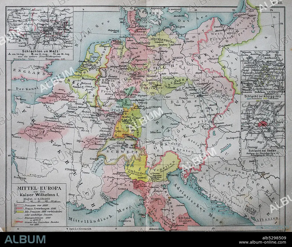
Historical map of central Europe from the time of emperor Wilhelm I. / Historische Landkarte von Mitteleuropa zur Zeit von Kaiser Wilhelm I.
| Teilen |
|---|
 Pinterest Pinterest |
 Twitter Twitter |
 Facebook Facebook |
 Link kopieren Link kopieren |
 Email Email |
|
Zu einem anderen Lightbox hinzufügen |
|
Zu einem anderen Lightbox hinzufügen |


Haben Sie bereits ein Konto? Anmelden
Sie haben kein Konto? Registrieren
Dieses Bild kaufen.
Nutzung auswählen:

Titel:
Historical map of central Europe from the time of emperor Wilhelm I. / Historische Landkarte von Mitteleuropa zur Zeit von Kaiser Wilhelm I.
Untertitel:
Siehe automatische Übersetzung
Historical map of central Europe from the time of emperor Wilhelm I. / Historische Landkarte von Mitteleuropa zur Zeit von Kaiser Wilhelm I..
Bildnachweis:
Album / Universal Images Group / Bildagentur-online
Freigaben (Releases):
Model: Nein - Eigentum: Nein
Rechtefragen?
Rechtefragen?
Bildgröße:
3608 x 2872 px | 29.6 MB
Druckgröße:
30.5 x 24.3 cm | 12.0 x 9.6 in (300 dpi)
Schlüsselwörter:
