alb5369348
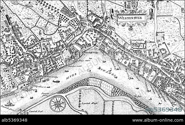
Historic drawing, city map of Westminster with the River Thames, 17th century, a district of London, England, Europe
| Teilen |
|---|
 Pinterest Pinterest |
 Twitter Twitter |
 Facebook Facebook |
 Link kopieren Link kopieren |
 Email Email |
|
Zu einem anderen Lightbox hinzufügen |
|
Zu einem anderen Lightbox hinzufügen |


Haben Sie bereits ein Konto? Anmelden
Sie haben kein Konto? Registrieren
Dieses Bild kaufen.
Nutzung auswählen:

Untertitel:
Siehe automatische Übersetzung
Historic drawing, city map of Westminster with the River Thames, 17th century, a district of London, England, Europe
Bildnachweis:
Album / ImageBroker / H.-D. Falkenstein
Freigaben (Releases):
Bildgröße:
5300 x 3309 px | 50.2 MB
Druckgröße:
44.9 x 28.0 cm | 17.7 x 11.0 in (300 dpi)
Schlüsselwörter:
BILDER • ENGLAND • EUROPAEER (F M) • EUROPAEER • EUROPÄER (F M) • EUROPÄER • EUROPÄISCH • FLUSS THEMSE • IN GEMAELDEN • INNENRAEUME: IN GEMAELDEN • KADER • MALEN • SCHWARZ-WEISS • STADTPLAN • THEMSE, FLUSS • ZEICHNUNGEN
