alb4193261
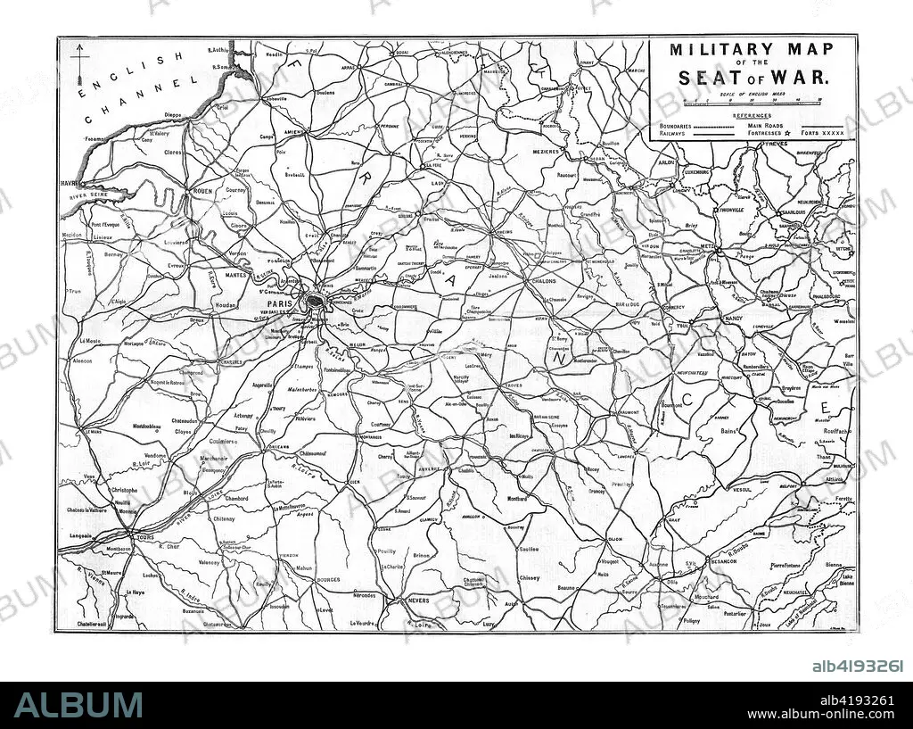
'Military Map of the Seat of War', 1870. Artist: Unknown.
| Teilen |
|---|
 Pinterest Pinterest |
 Twitter Twitter |
 Facebook Facebook |
 Link kopieren Link kopieren |
 Email Email |
|
Zu einem anderen Lightbox hinzufügen |
|
Zu einem anderen Lightbox hinzufügen |


Haben Sie bereits ein Konto? Anmelden
Sie haben kein Konto? Registrieren
Dieses Bild kaufen

Titel:
'Military Map of the Seat of War', 1870. Artist: Unknown.
Untertitel:
Siehe automatische Übersetzung
'Military Map of the Seat of War', 1870. Map showing northern France, including Paris and the English Channel, during the Franco-Prussian War, (1870-1871). From The Times, 15 November 1870.
Bildnachweis:
Album / Heritage Images / The Print Collector
Freigaben (Releases):
Model: Nein - Eigentum: Nein
Rechtefragen?
Rechtefragen?
Bildgröße:
8100 x 6040 px | 140.0 MB
Druckgröße:
68.6 x 51.1 cm | 27.0 x 20.1 in (300 dpi)
Schlüsselwörter:
