alb4069074
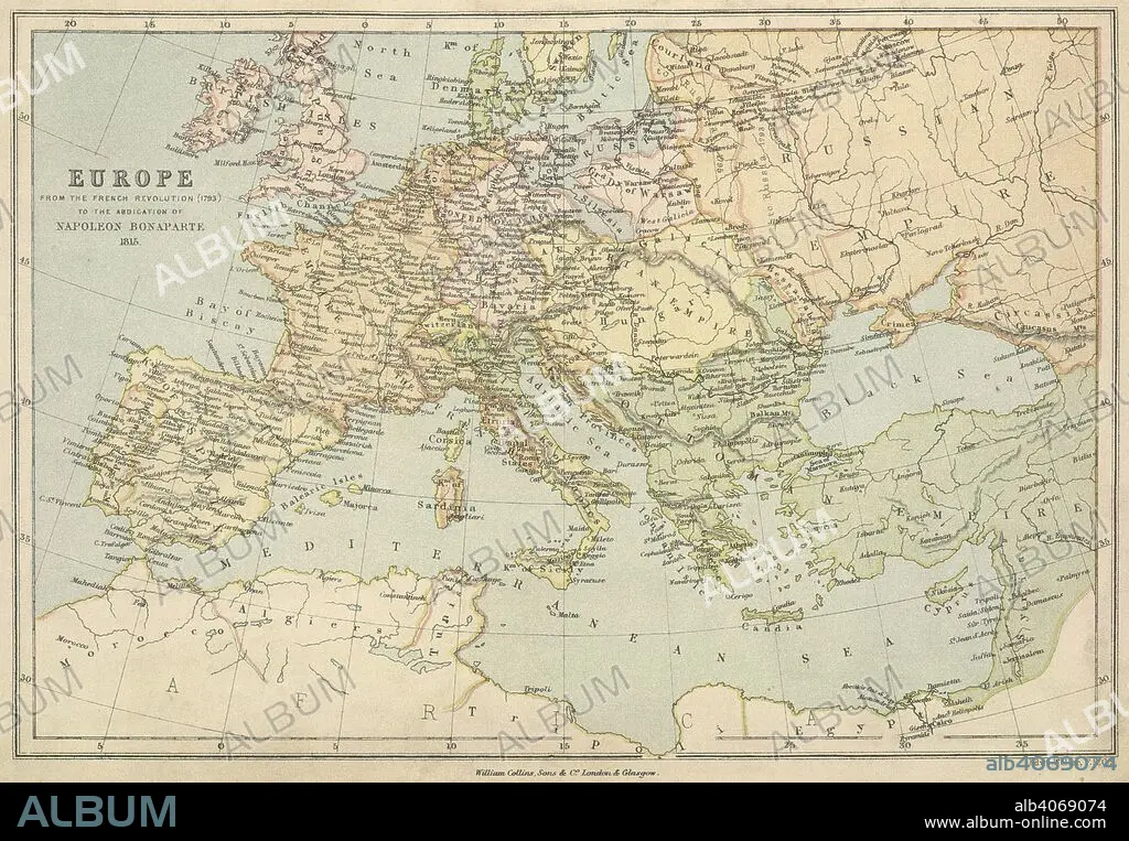
E WELLER. A map of Europe from the French Revolution (1793) to the abdication of Napoleon Bonaparte 1815. Collins' Series of Atlases. The Student's Atlas of Historical Geography, consisting of sixteen Maps, constructed and engraved by Edward Weller, F.R.G.S., and descriptive letterpress by W.F. Collier. With Index. London, Glasgow and Edinburgh : William Collins, Sons, & Co., 1873. Source: Maps 49.c.78, no.13. Language: English.
| Teilen |
|---|
 Pinterest Pinterest |
 Twitter Twitter |
 Facebook Facebook |
 Link kopieren Link kopieren |
 Email Email |
|
Zu einem anderen Lightbox hinzufügen |
|
Zu einem anderen Lightbox hinzufügen |


Haben Sie bereits ein Konto? Anmelden
Sie haben kein Konto? Registrieren
Dieses Bild kaufen

Autor:
Untertitel:
Siehe automatische Übersetzung
A map of Europe from the French Revolution (1793) to the abdication of Napoleon Bonaparte 1815. Collins' Series of Atlases. The Student's Atlas of Historical Geography, consisting of sixteen Maps, constructed and engraved by Edward Weller, F.R.G.S., and descriptive letterpress by W.F. Collier. With Index. London, Glasgow and Edinburgh : William Collins, Sons, & Co., 1873. Source: Maps 49.c.78, no.13. Language: English.
Bildnachweis:
Album / British Library
Freigaben (Releases):
Model: Nein - Eigentum: Nein
Rechtefragen?
Rechtefragen?
Bildgröße:
6234 x 4323 px | 77.1 MB
Druckgröße:
52.8 x 36.6 cm | 20.8 x 14.4 in (300 dpi)
Schlüsselwörter:
