alb4067753
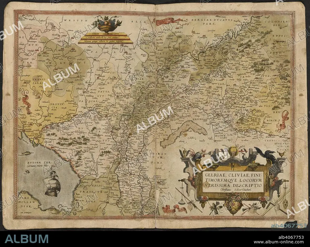
GERARDUS MERCATOR. Map of Gelderland and Cleves. The Mercator atlas of Europe. 1570-1572. Gelriae, Cliviae, fini timorumque locorum, verissima descriptio. Image taken from The Mercator atlas of Europe. Originally published/produced in 1570-1572. . Source: Maps.C.29.c.13, 17.
| Teilen |
|---|
 Pinterest Pinterest |
 Twitter Twitter |
 Facebook Facebook |
 Link kopieren Link kopieren |
 Email Email |
|
Zu einem anderen Lightbox hinzufügen |
|
Zu einem anderen Lightbox hinzufügen |


Haben Sie bereits ein Konto? Anmelden
Sie haben kein Konto? Registrieren
Dieses Bild kaufen.
Nutzung auswählen:

Untertitel: Siehe automatische Übersetzung
Map of Gelderland and Cleves. The Mercator atlas of Europe. 1570-1572. Gelriae, Cliviae, fini timorumque locorum, verissima descriptio. Image taken from The Mercator atlas of Europe. Originally published/produced in 1570-1572. . Source: Maps.C.29.c.13, 17.
Map of Gelderland and Cleves. The Mercator atlas of Europe. 1570-1572. Gelriae, Cliviae, fini timorumque locorum, verissima descriptio. Image taken from The Mercator atlas of Europe. Originally published/produced in 1570-1572. . Source: Maps.C.29.c.13, 17.
Bildnachweis: Album / British Library
Bildgröße: 6100 × 4549 px | 79.4 MB
Druckgröße: 51.6 × 38.5 cm | 2401.6 × 1790.9 in (300 dpi)
Schlüsselwörter: EUROPA • HOLLAND • KARTE (KARTHOGRAFIE) • KARTEN • KARTHOGRAPHIE • LANDKARTE • MERCATOR, GERHARD • PLAN (KARTOGRAPHIE) • SGROOTEN CHRISTIAN
