alb5366846
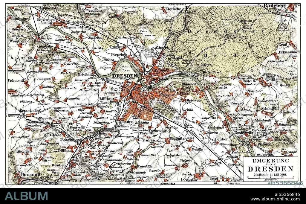
Map of Dresden and the surrounding area, Germany, Europe, end of the 19th Century, from Meyers Encyclopaedia, 1889
| Teilen |
|---|
 Pinterest Pinterest |
 Twitter Twitter |
 Facebook Facebook |
 Link kopieren Link kopieren |
 Email Email |
|
Zu einem anderen Lightbox hinzufügen |
|
Zu einem anderen Lightbox hinzufügen |


Haben Sie bereits ein Konto? Anmelden
Sie haben kein Konto? Registrieren
Dieses Bild kaufen.
Nutzung auswählen:

Untertitel: Siehe automatische Übersetzung
Map of Dresden and the surrounding area, Germany, Europe, end of the 19th Century, from Meyers Encyclopaedia, 1889, Europe
Map of Dresden and the surrounding area, Germany, Europe, end of the 19th Century, from Meyers Encyclopaedia, 1889, Europe
Bildnachweis: Album / ImageBroker / H.-D. Falkenstein
Freigaben (Releases): ? Modellfreigabe: Nein - ? Eigentumsfreigabe: Nein
Rechtefragen?
Rechtefragen?
Bildgröße: 5345 × 3282 px | 50.2 MB
Druckgröße: 45.3 × 27.8 cm | 2104.3 × 1292.1 in (300 dpi)
Schlüsselwörter: BILDER • ILLUSTRATION • ILLUSTRATIONS • IN GEMAELDEN • INNENRAEUME: IN GEMAELDEN • KADER • KARTE • KARTEN • MALEN • PAPPE • SACHSEN • STRASSENKARTE
