alb9002886
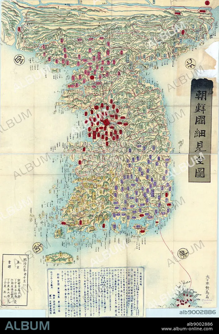
Choson, Map of Joseon Era Korea. Circa 1750 - 1800
| Share |
|---|
 Pinterest Pinterest |
 Twitter Twitter |
 Facebook Facebook |
 Copy link Copy link |
 Email Email |
|
Add to another lightbox |
|
Add to another lightbox |


Buy this image.
Select the use:

Caption: Choson, Map of Joseon Era Korea. Circa 1750 - 1800
Credit: Album / World History Archive
Releases: ? Model Release: No - ? Property Release: No
Rights questions?
Rights questions?
Image size: 3805 × 5511 px | 60.0 MB
Print size: 32.2 × 46.7 cm | 1498.0 × 2169.7 in (300 dpi)
Keywords: 18TH CENTURY • 18TH CENTURY, THE • 18TH CENTURY. • 18TH • CARTOGRAPHIC • CARTOGRAPHY • CHOSON, MAP • GEOGRAFIA • GEOGRAPHY • JOSEON ERA • KOREA • KOREAN • MANUSCRIPT • MAP MAKING • XVIII CENTURY
