alb4953771
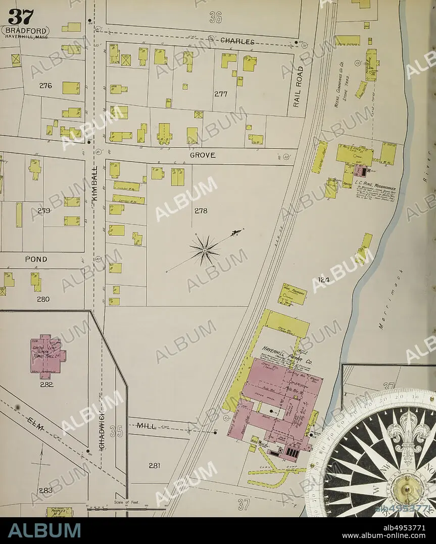
Image 40 of Sanborn Fire Insurance Map from Haverhill, Essex County, Massachusetts. 1893. 47 Sheet(s). Includes Bradford, Georgetown, Groveland. 2 skeleton maps. Bound, America, street map with a Nineteenth Century compass.
| Share |
|---|
 Pinterest Pinterest |
 Twitter Twitter |
 Facebook Facebook |
 Copy link Copy link |
 Email Email |
|
Add to another lightbox |
|
Add to another lightbox |


Caption:
Image 40 of Sanborn Fire Insurance Map from Haverhill, Essex County, Massachusetts. 1893. 47 Sheet(s). Includes Bradford, Georgetown, Groveland. 2 skeleton maps. Bound, America, street map with a Nineteenth Century compass
Credit:
Album / quintlox
Releases:
Model: No - Property: No
Rights questions?
Rights questions?
Image size:
5000 x 5933 px | 84.9 MB
Print size:
42.3 x 50.2 cm | 16.7 x 19.8 in (300 dpi)
Keywords:
1893 • 2 SKELETON MAPS • 47 SHEET (S) • AMERICA • AMERICAS • ATLAS • BOUND • CARTOGRAPHY • CITY • EEUU • ESSEX COUNTY • GEOGRAPHY • GEORGETOWN • GROVELAND • HAVERHILL • IMAGE 40 • INCLUDES BRADFORD • JOURNEY • JOURNEYMAN'S TRAVEL • JOURNEYMAN'S TRAVELS • LANDMARK • LEISURE • MAP MAKING • MASSACHUSETTS • NINETEENTH CENTURY COMPASS • OLD • OUTDOOR • OUTDOORS • OUTSIDE • ROAD • ROADS • RUA • SANBORN FIRE INSURANCE MAP • STREET MAP • STREET • STREETS • TOWN • TOWNS • TRAVEL • TRAVELING • TRIP • TRIPS • U. S. A • UNITED STATES • URBAN • VIA • VINTAGE • VOYAGE • WAY
