alb4067954
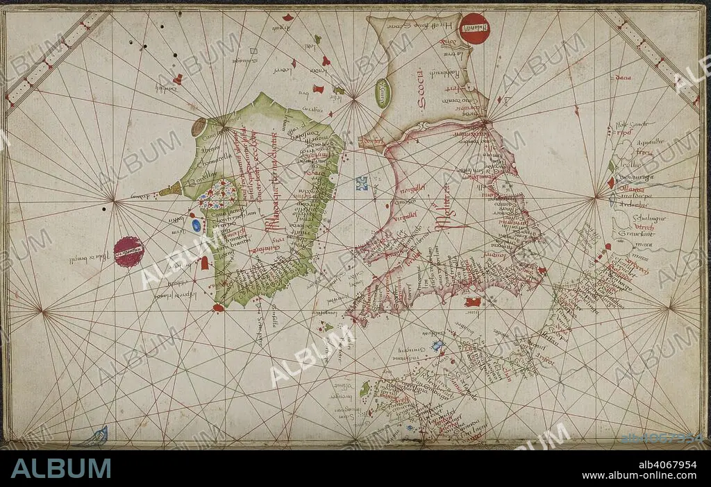
GRAZIOSO BENINCASA. Chart of the coasts of western Europe, from the British Isles to Portugal. Portolano. Italy; 1469. Source: Add. 31315, ff.4v-5. Language: Italian.
| Share |
|---|
 Pinterest Pinterest |
 Twitter Twitter |
 Facebook Facebook |
 Copy link Copy link |
 Email Email |
|
Add to another lightbox |
|
Add to another lightbox |


Buy this image.
Select the use:

Author:
Caption:
Chart of the coasts of western Europe, from the British Isles to Portugal. Portolano. Italy; 1469. Source: Add. 31315, ff.4v-5. Language: Italian.
Credit:
Album / British Library
Releases:
Image size:
6616 x 4190 px | 79.3 MB
Print size:
56.0 x 35.5 cm | 22.1 x 14.0 in (300 dpi)
Keywords:
15 15TH XV XVTH FIFTEENTH CENTURY • 15TH CENTURY • 15TH CENTURY; • 15TH • BRITAIN • BRITISH ISLES • CARTOGRAPHIC • CARTOGRAPHY • CHART • COAST • COASTAL • COASTLINE • ENGLAND'S • ENGLAND • EUROPA • EUROPE • FIFTEENTH CENTURY • GRAZIOSO BENINCASA • GREAT BRITAIN • GREAT-BRITAIN • MAP MAKING • MARITIME • SEASHORE • SEASIDE • SHORELINE • SIGLO XV • U. K. • UNITED KINGDOM • WESTERN EUROPE • XV CENTURY
