alb4875633
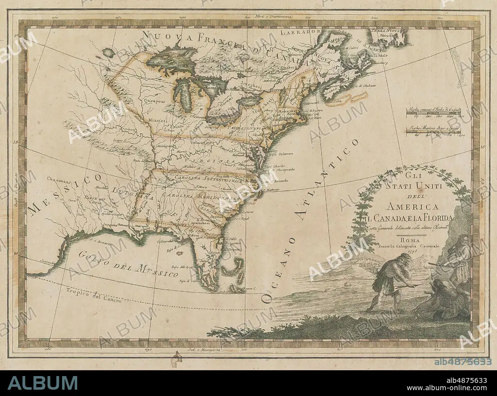
Calcographia Camerale, Map of Atlantic Seaboard and Part of Canada, 1798, tinted.
| Share |
|---|
 Pinterest Pinterest |
 Twitter Twitter |
 Facebook Facebook |
 Copy link Copy link |
 Email Email |
|
Add to another lightbox |
|
Add to another lightbox |


Buy this image.
Select the use:

Caption:
Calcographia Camerale, Map of Atlantic Seaboard and Part of Canada, 1798, tinted
Credit:
Album / quintlox
Releases:
Model: No - Property: No
Rights questions?
Rights questions?
Image size:
5814 x 4326 px | 72.0 MB
Print size:
49.2 x 36.6 cm | 19.4 x 14.4 in (300 dpi)
Keywords:
1798 • ATLANTIC SEABOARD • CALCOGRAPHIA CAMERALE • CANADA • CANADA. • MAP • MAPS • PART • PLAN (CARTOGRAPHY) • TINTED
