alb6164243
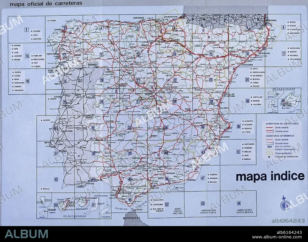
MAPA DE ESPAÑA DE CARRETERAS - AÑOS 80
| Share |
|---|
 Pinterest Pinterest |
 Twitter Twitter |
 Facebook Facebook |
 Copy link Copy link |
 Email Email |
|
Add to another lightbox |
|
Add to another lightbox |


Buy this image.
Select the use:

Caption:
Automatic translation: ROAD MAP OF SPAIN - YEARS 80
MAPA DE ESPAÑA DE CARRETERAS - AÑOS 80
Credit:
Album / Oronoz
Releases:
Image size:
3551 x 2608 px | 26.5 MB
Print size:
30.1 x 22.1 cm | 11.8 x 8.7 in (300 dpi)
Keywords:
1980S • 20 20TH XX XXTH TWENTIETH CENTURY • 20 XX TWENTIETH CENTURY • 20TH CENTURY • 20TH • 80S • EIGHTIES • EIGHTIES, THE • ESPANA • MAP • MAPS • PLAN (CARTOGRAPHY) • ROAD • ROADS • SPAIN • TWENTIETH CENTURY
