alb15431405
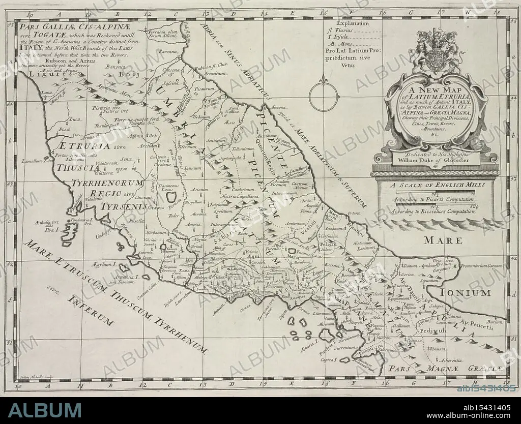
A new map of Latium, Etruria, and as much of ancient Itally, as lay between Gallia Cisalpina and Græcia Magna, shewing their principal divisions, cities, towns, rivers, mountains &c., 1700, Sheldonian Theatre, Additional title: Latium, and Etruria., Date Issued: 1700, Place: Oxford :, Publisher: Printed at theTheater, Atlases, British, Geography, Ancient, Maps in education, England, Maps, Ancient lands unfold, Cities rise amidst the hills, History's terrain.
| Share |
|---|
 Pinterest Pinterest |
 Twitter Twitter |
 Facebook Facebook |
 Copy link Copy link |
 Email Email |
|
Add to another lightbox |
|
Add to another lightbox |


Buy this image.
Select the use:

Caption:
A new map of Latium, Etruria, and as much of ancient Itally, as lay between Gallia Cisalpina and Græcia Magna, shewing their principal divisions, cities, towns, rivers, mountains &c., 1700, Sheldonian Theatre, Additional title: Latium, and Etruria., Date Issued: 1700, Place: Oxford :, Publisher: Printed at theTheater, Atlases, British, Geography, Ancient, Maps in education, England, Maps, Ancient lands unfold, Cities rise amidst the hills, History's terrain.
Credit:
Album / quintlox
Releases:
Model: No - Property: No
Rights questions?
Rights questions?
Image size:
4794 x 3656 px | 50.1 MB
Print size:
40.6 x 31.0 cm | 16.0 x 12.2 in (300 dpi)
Keywords:
1700 • ADDITIONAL TITLE • ANCIENT ITALLY • ANCIENT • ANTIQUE • ATLAS • ATLASES • BRITAIN • BRITISH • CITIES • CITY • CLASS • COURSE • DATE ISSUED • EDUCATING • EDUCATION • EDUCATION. • ENGLAND'S • ENGLAND • ENGLISH • ETRURIA • GALLIA CISALPINA • GEOGRAFIA • GEOGRAPHY • GREAT BRITAIN • GREAT-BRITAIN • GRÆCIA MAGNA • INSTRUCTING • INSTRUCTION • LATIUM • LAY • LESSON (SCHOOL) • LESSON • MAP • MAPS • MOUNTAINS &C • NEW MAP • OLD • OXFORD • PEDAGOGY • PERIOD • PLACE • PLAN (CARTOGRAPHY) • PRINCIPAL DIVISIONS • PRINTED • PUBLISHER • RIO • RIVER • RIVERS • SHELDONIAN THEATRE • SHEWING • STUDENT • TEACHING • TEACHING, EDUCATION • THETHEATER • TOWN • TOWNS • TRAINING • U. K. • UNITED KINGDOM • UPBRINGING
