alb3274266
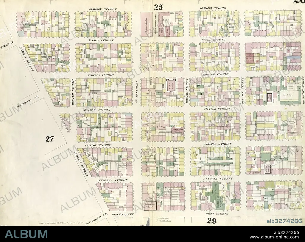
Plate 26: Map bounded by Rivington Street, Ridge Street, Division Street, Canal Street, Ludlow Street. 1857, 1862, Perris and Browne, New York, USA.
| Share |
|---|
 Pinterest Pinterest |
 Twitter Twitter |
 Facebook Facebook |
 Copy link Copy link |
 Email Email |
|
Add to another lightbox |
|
Add to another lightbox |


Caption:
Plate 26: Map bounded by Rivington Street, Ridge Street, Division Street, Canal Street, Ludlow Street. 1857, 1862, Perris and Browne, New York, USA
Credit:
Album / quintlox
Releases:
Model: No - Property: No
Rights questions?
Rights questions?
Image size:
6039 x 4490 px | 77.6 MB
Print size:
51.1 x 38.0 cm | 20.1 x 15.0 in (300 dpi)
Keywords:
1862 • AMERICA • AMERICAS • CANAL STREET • CARTOGRAPHIC • CARTOGRAPHY • DIVISION STREET • EEUU • GEOGRAPHY • HISTORIC MAP • LUDLOW STREET 1857 • MANHATTAN, NEW YORK • MAP BOUNDED BY • MAP MAKING • MAP • MAPS • NEW YORK CITY • NEW YORK • NEW YORK, USA • OLD MAP • PERRIS AND BROWNE • PLAN (CARTOGRAPHY) • PLATE 26 • RIDGE STREET • RIVINGTON STREET • UNITED STATES • VINTAGE MAP
