alb4184159
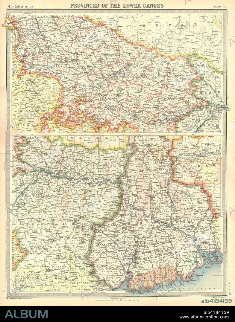
Map of the Provinces of the Lower Ganges. Artist: Unknown.
| Share |
|---|
 Pinterest Pinterest |
 Twitter Twitter |
 Facebook Facebook |
 Copy link Copy link |
 Email Email |
|
Add to another lightbox |
|
Add to another lightbox |


Buy this image.
Select the use:

Title:
Map of the Provinces of the Lower Ganges. Artist: Unknown.
Caption:
Map of the Provinces of the Lower Ganges. Map in two sections, showing Indian states through which the River Ganges flows, and the Ganges Delta in what is now Bangladesh. Plate 59 from The Times Atlas.
Credit:
Album / Heritage Images / The Print Collector
Releases:
Model: No - Property: No
Rights questions?
Rights questions?
Image size:
3550 x 4632 px | 47.0 MB
Print size:
30.1 x 39.2 cm | 11.8 x 15.4 in (300 dpi)
Keywords:
ASIA • ASSAM • BANGLADESH • BIHAR • CARTOGRAPHY • COLOR • COLOUR • GANGES DELTA • GANGES RIVER • GANGES • GEOGRAPHICAL FEATURE • GEOGRAPHY • INDIA • INDIAN • MAP MAKING • MAP • MAP-MAKING • ORISSA • RIVER GANGES • RIVER
