alb4060187
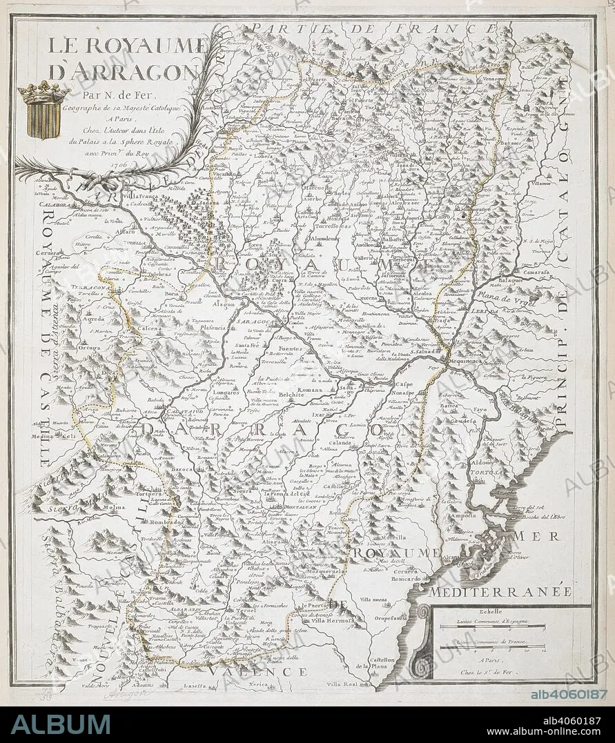
NICOLAS DE FER. A map of the Kingdom of Aragon. Le Royaume d'Arragon, par N. De Fer. 1706. Source: Maps K.Top.72.53. Language: French.
| Share |
|---|
 Pinterest Pinterest |
 Twitter Twitter |
 Facebook Facebook |
 Copy link Copy link |
 Email Email |
|
Add to another lightbox |
|
Add to another lightbox |


Buy this image.
Select the use:

Author:
Caption:
A map of the Kingdom of Aragon. Le Royaume d'Arragon, par N. De Fer. 1706. Source: Maps K.Top.72.53. Language: French.
Credit:
Album / British Library
Releases:
Image size:
5656 x 6500 px | 105.2 MB
Print size:
47.9 x 55.0 cm | 18.9 x 21.7 in (300 dpi)
Keywords:
18TH CENTURY • 18TH CENTURY, THE • 18TH CENTURY. • 18TH • ARAGON • CARTE • CARTOGRAPHIC • CARTOGRAPHY • ESPANA • FER, NICOLAS DE • MAP MAKING • MAP • MAPS • NO ONE • NO-ONE • NOBODY • PLAN (CARTOGRAPHY) • SPAIN • XVIII CENTURY
