alb9231403
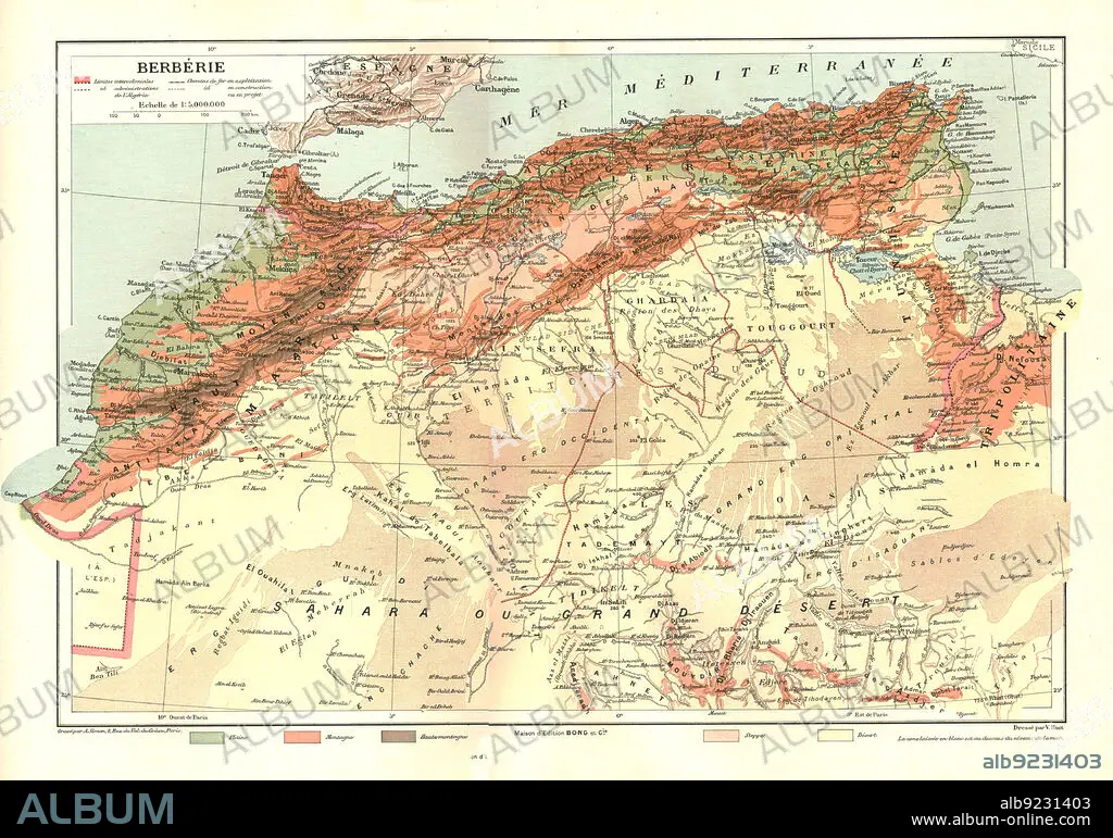
''Relief Map of Berberie', 1914. Creator: Unknown.
| Share |
|---|
 Pinterest Pinterest |
 Twitter Twitter |
 Facebook Facebook |
 Copy link Copy link |
 Email Email |
|
Add to another lightbox |
|
Add to another lightbox |


Buy this image.
Select the use:

Title:
''Relief Map of Berberie', 1914. Creator: Unknown.
Caption:
''Relief Map of Berberie', 1914. From "Grande Geographie Bong Illustree", 1914.
Technique/material:
engraving
Credit:
Album / The Print Collector/Heritage Images
Releases:
Model: No - Property: No
Rights questions?
Rights questions?
Image size:
4865 x 3413 px | 47.5 MB
Print size:
41.2 x 28.9 cm | 16.2 x 11.4 in (300 dpi)
Keywords:
1910S • 20TH CENTURY • AFRICA • AFRICAN CONTINENT • AFRICAN • ALGERIA • ATLANTIC OCEAN • ATLANTIC • ATLAS MOUNTAINS • BARBARY COAST • BERBER • BERBERS • CARTOGRAPHY • CENTURY • COAST • COASTAL • COLONIAL • COLONIALISM • COLONIES • COLONY • COLOR • COLOUR • CONTINENT • COUNTRY • DESERT • EMPIRE • ENGRAVING • FLEET • FRANCE • FRENCH • GEOGRAPHICAL FEATURE • GEOGRAPHY • LOCATION • MAP MAKING • MAP • MAP-MAKING • MAPMAKING • MARINE • MEDITERRANEAN SEA • MEDITERRANEAN • MOROCCO • MOUNTAIN RANGE • MOUNTAINS • NAVY • NORTH AFRICA • NORTH AFRICAN • OCEAN • OCEAN, ATLANTIC • PRINT COLLECTOR, THE • RANGE • RELIEF MAP • SAHARA DESERT • SAHARA • SEA • SEAS • SIERRA • TUNISIA
