alb1513461
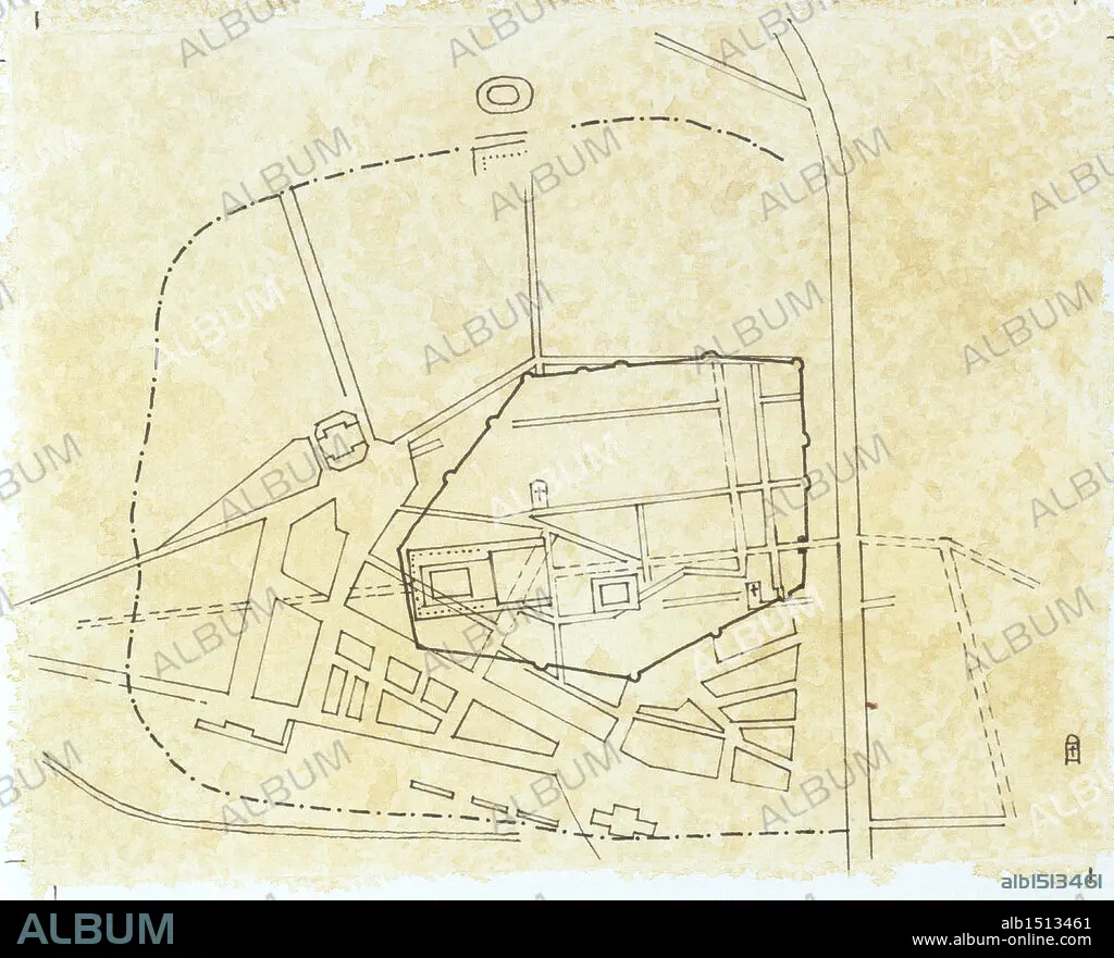
Cartography - Roman civilization. Map of Narbo Martius in the Roman province of Gallia Transalpina (now Narbonne, France). Drawing.
| Share |
|---|
 Pinterest Pinterest |
 Twitter Twitter |
 Facebook Facebook |
 Copy link Copy link |
 Email Email |
|
Add to another lightbox |
|
Add to another lightbox |


Caption:
Cartography - Roman civilization. Map of Narbo Martius in the Roman province of Gallia Transalpina (now Narbonne, France). Drawing.
Credit:
Album / DEA PICTURE LIBRARY
Releases:
Model: No - Property: No
Rights questions?
Rights questions?
Image size:
4646 x 3758 px | 50.0 MB
Print size:
39.3 x 31.8 cm | 15.5 x 12.5 in (300 dpi)
Keywords:
AERIAL PHOTO • AERIAL SHOT • AERIAL VIEW • ANCIENT CIVILIZATION • ANCIENT ROME • CARTOGRAPHY • COLORED BACKGROUND • FRANCE • FULL LENGTH • FULL-LENGTH • GALLIA TRANSALPINA • GENERAL ART • HISTORIA UNIVERSAL • HISTORIA • HISTORY • HORIZONTAL • MAP MAKING • NARBO MARTIUS • NARBONNE • NO PEOPLE • PAST, THE • PLAN • ROME ANCIENT • WITHOUT PEOPLE
