alb4078255
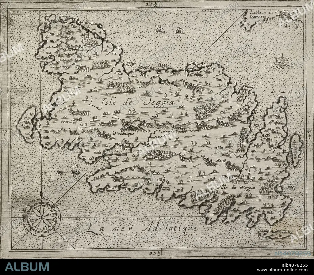
A map of the Isle of Veggia. L'Isle de Veggia. Source: Maps K.Top.113.49. Language: French.
| Share |
|---|
 Pinterest Pinterest |
 Twitter Twitter |
 Facebook Facebook |
 Copy link Copy link |
 Email Email |
|
Add to another lightbox |
|
Add to another lightbox |


Buy this image.
Select the use:

Caption:
A map of the Isle of Veggia. L'Isle de Veggia. Source: Maps K.Top.113.49. Language: French.
Credit:
Album / British Library
Releases:
Model: No - Property: No
Rights questions?
Rights questions?
Image size:
5058 x 4174 px | 60.4 MB
Print size:
42.8 x 35.3 cm | 16.9 x 13.9 in (300 dpi)
Keywords:
ADRIATIC SEA • ARCHIPELAGO • CARTE • CARTOGRAPHIC • CARTOGRAPHY • ISLA • ISLAND • ISLANDS • MAP MAKING • MAP • MAPS • MEDITERRANEAN SEA • MEDITERRANEAN • NO ONE • NO-ONE • NOBODY • PLAN (CARTOGRAPHY)
