alb8363040
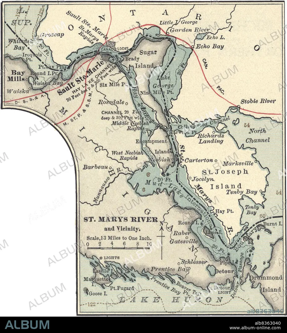
Map of St. Marys River and Sault Ste. Marie, MI
| Share |
|---|
 Pinterest Pinterest |
 Twitter Twitter |
 Facebook Facebook |
 Copy link Copy link |
 Email Email |
|
Add to another lightbox |
|
Add to another lightbox |


Buy this image.
Select the use:

Caption:
Map of St. Marys River and Sault Ste. Marie, MI
Credit:
Album / Universal Images Group / Encyclopaedia Britannica
Releases:
Model: No - Property: No
Rights questions?
Rights questions?
Image size:
3313 x 3657 px | 34.7 MB
Print size:
28.1 x 31.0 cm | 11.0 x 12.2 in (300 dpi)
Keywords:
10TH EDITION • 19 CENTURY • 1900 • 1900S • 1902 • 1990S • 19TH CENTURY • 19TH CENTURY. • 19TH • 19TH-CENTURY • 90S • BAY MILLS • CARTOGRAPHY • CITIES • CITY • DETAIL • DRUMMOND RIVER • EARLY 20TH CENTURY • EARLY TWENTIETH CENTURY • EEUU • EXPLORATION • GEOGRAFIA • GEOGRAPHICAL • GEOGRAPHY • HISTORIA UNIVERSAL • HISTORIA • HISTORICAL • HISTORY • HISTORY. • INSET • MAP MAKING • MAP • MAPS • MICHIGAN • MIDWEST • MUD LAKE • NINETEENTH CENTURY • NINETIES • NINETIES, THE • NINETY DECADE • NORTH AMERICA • NORTH AMERICAN • ONTARIO • PHYSICAL MAP • PLAN (CARTOGRAPHY) • SAINT MARYS RIVER • SAULT STE. MARIE • ST. JOSEPH ISLAND • ST. MARYS RIVER • SUGAR ISLAND • TENTH EDITION • TOWN • TOWNS • U. S. A • U. S. A. • UNITED STATES AMERICA • UNITED STATES OF AMERICA • UNITED STATES • UPPER PENINSULA • USA • VERTICAL LINES • VERTICAL • VICINITY • XIX CENTURY
