alb2008279
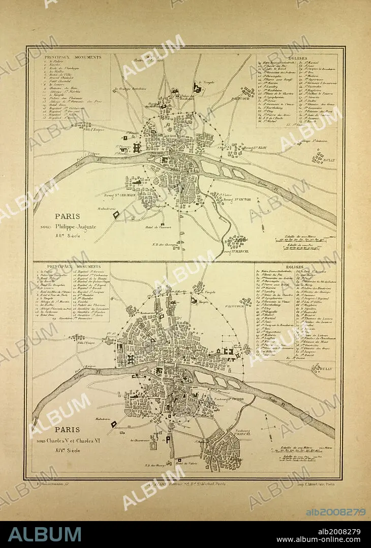
MAP OF PARIS IN THE 12TH CENTURY AND IN THE 14TH CENTURY, FRANCE.
| Share |
|---|
 Pinterest Pinterest |
 Twitter Twitter |
 Facebook Facebook |
 Copy link Copy link |
 Email Email |
|
Add to another lightbox |
|
Add to another lightbox |


Caption:
MAP OF PARIS IN THE 12TH CENTURY AND IN THE 14TH CENTURY, FRANCE
Credit:
Album / quintlox
Releases:
Model: No - Property: No
Rights questions?
Rights questions?
Image size:
4297 x 6025 px | 74.1 MB
Print size:
36.4 x 51.0 cm | 14.3 x 20.1 in (300 dpi)
Keywords:
12 CENTURY • 12TH CENTURY • 12TH • 14TH CENTURY • FOURTEENTH CENTURY • FRANCE • MAP • MAPS • NINETEENTH CENTURY MAP • PARIS • PLAN (CARTOGRAPHY) • XII CENTURY • XIV CENTURY
