alb2590714
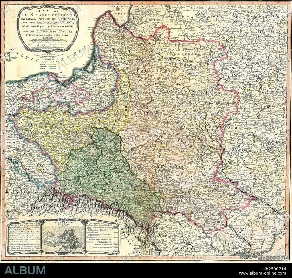
Map of the Partition of the Kingdom of Poland and the Grand Duchy of Lithuania.
| Share |
|---|
 Pinterest Pinterest |
 Twitter Twitter |
 Facebook Facebook |
 Copy link Copy link |
 Email Email |
|
Add to another lightbox |
|
Add to another lightbox |


Buy this image.
Select the use:

Title: Map of the Partition of the Kingdom of Poland and the Grand Duchy of Lithuania.
Caption: Map of the Partition of the Kingdom of Poland and the Grand Duchy of Lithuania. Dated 1799
Credit: Album / Universal Images Group / Universal History Archive/UIG
Releases: ? Model Release: No - ? Property Release: No
Rights questions?
Rights questions?
Image size: 4827 × 4344 px | 60.0 MB
Print size: 40.9 × 36.8 cm | 1900.4 × 1710.2 in (300 dpi)
Keywords: 1790S • 18TH CENTURY • 18TH CENTURY, THE • 18TH CENTURY. • 18TH • COMMUNISM: POLAND • GRAND DUCHY OF LITHUANIA • GRAND DUCHY • KINGDOM OF POLAND • KINGDOM • LITHUANIA • MAP • MAPS • PARTITION • PLAN (CARTOGRAPHY) • POLAND • POLAND: COMMUNISM • POLAND: POSTWAR • POSTWAR: POLAND • XVIII CENTURY
