alb1657672
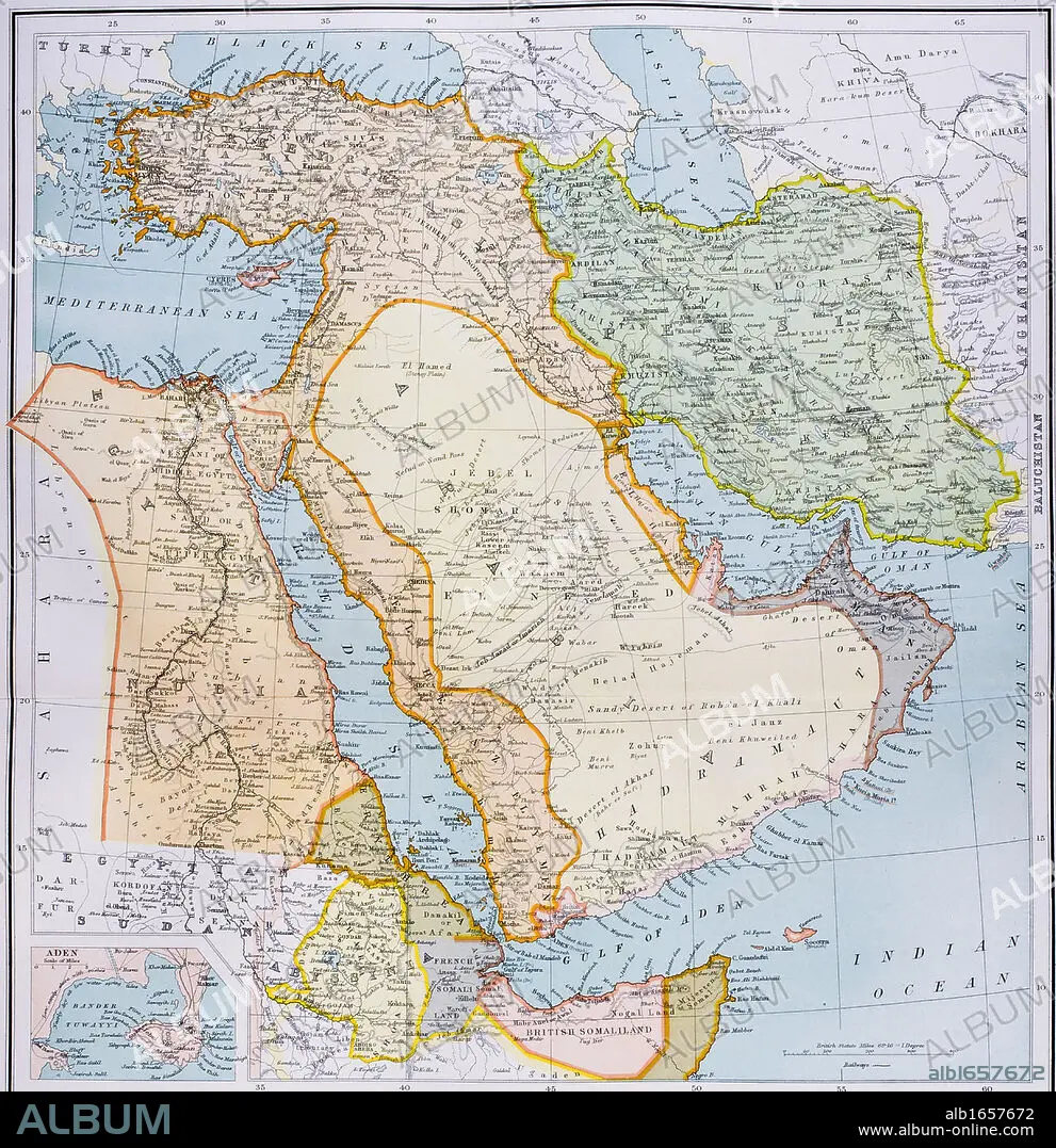
Map of Turkey Middle East Horn of Africa and Persian Gulf in 1890s From The Citizen's Atlas of the World published London circa 1899.
| Share |
|---|
 Pinterest Pinterest |
 Twitter Twitter |
 Facebook Facebook |
 Copy link Copy link |
 Email Email |
|
Add to another lightbox |
|
Add to another lightbox |


Caption:
Map of Turkey Middle East Horn of Africa and Persian Gulf in 1890s From The Citizen's Atlas of the World published London circa 1899
Credit:
Album / Universal History Archive/Universal Images Group
Releases:
Model: No - Property: No
Rights questions?
Rights questions?
Image size:
4341 x 4485 px | 55.7 MB
Print size:
36.8 x 38.0 cm | 14.5 x 14.9 in (300 dpi)
Keywords:
19TH CENTURY • 19TH • AFRICA • AFRICAN • ANT. OR.: IRAN • ATLAS • CENTURY • COLOR • COLOUR • EAST • EGYPT • EGYPTIAN • EGYPTIANS • FLEET • GULF • HORN • IRAK • IRAN • IRAQ • KEN • MAP • MAPS • MARINE • MIDDLE • MYTH: PERSIAN • NAVY • NINETEENTH • OCEAN • ORIENT • PERSIA • PERSIAN ART • PERSIAN MYTH • PERSIAN • PLAN (CARTOGRAPHY) • RED (COLOUR) • RED • SEA • SEAS • TURKEY • VERTICAL LINES • VERTICAL • WELSH • XIX CENTURY
