alb4685835
ESPAGNE
| Share |
|---|
 Pinterest Pinterest |
 Twitter Twitter |
 Facebook Facebook |
 Copy link Copy link |
 Email Email |
|
Add to another lightbox |
|
Add to another lightbox |


Buy this image.
Select the use:

Title:
ESPAGNE
Caption:
See automatic translation
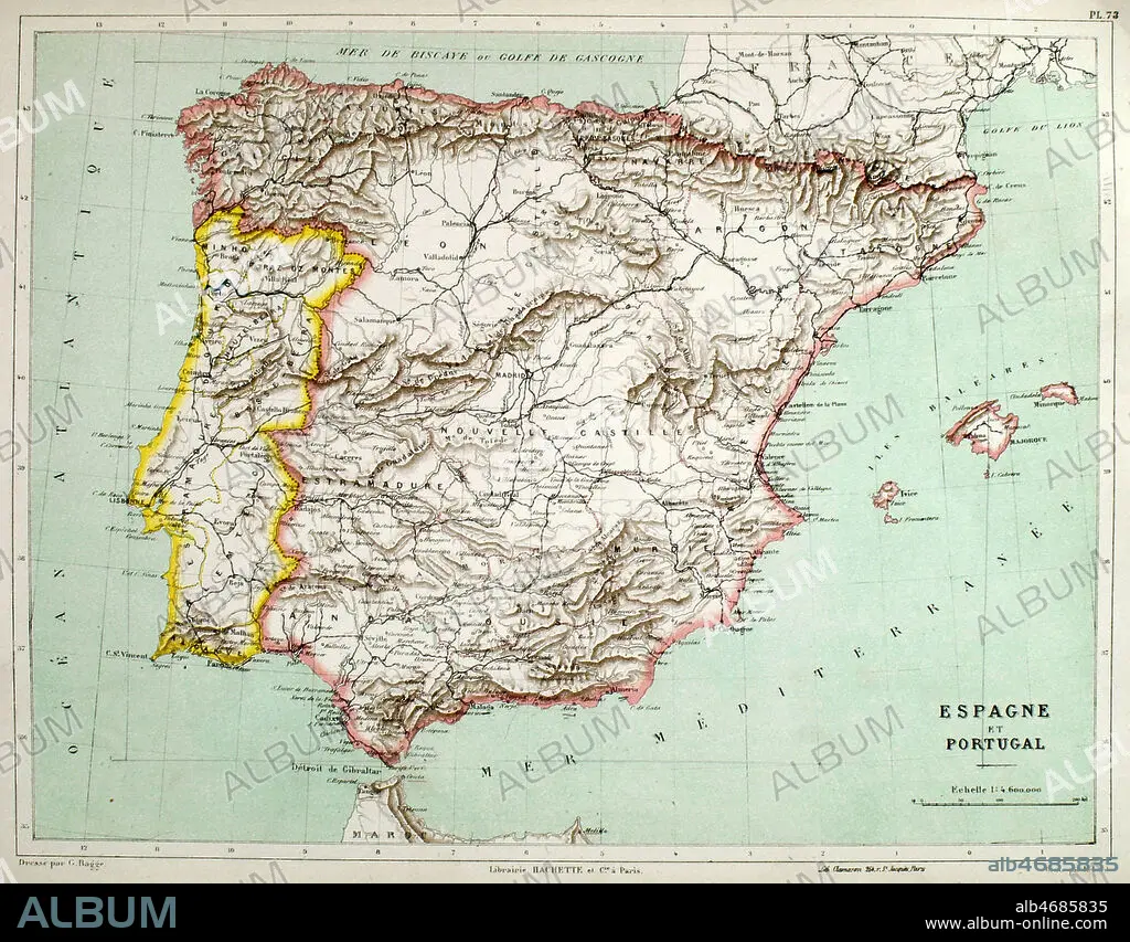
Carte geographique de l'Espagne et du Portugal vers 1900 pour le Nouvel Atlas de Geographie par E. Cortambert. Credit : Coll. Jonas/KHARBINE-TAPABOR.
Credit:
Album / Coll. Jonas/KHARBINE-TAPABOR
Releases:
Image size:
2993 x 2338 px | 20.0 MB
Print size:
25.3 x 19.8 cm | 10.0 x 7.8 in (300 dpi)
Keywords:
