alb3104271
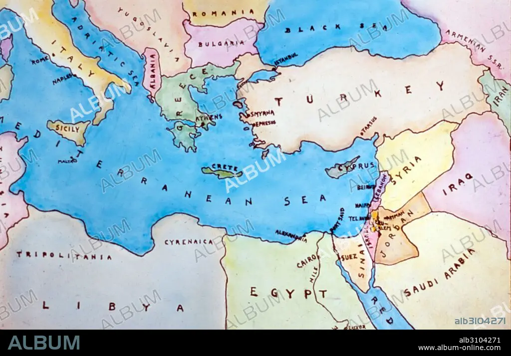
Map of the Eastern Mediterranean and surrounding countries.
| Share |
|---|
 Pinterest Pinterest |
 Twitter Twitter |
 Facebook Facebook |
 Copy link Copy link |
 Email Email |
|
Add to another lightbox |
|
Add to another lightbox |


Buy this image.
Select the use:

Title:
Map of the Eastern Mediterranean and surrounding countries.
Caption:
Map of the Eastern Mediterranean and surrounding countries. Dated 1977.
Credit:
Album / Universal Images Group / Universal History Archive \ UIG
Releases:
Model: No - Property: No
Rights questions?
Rights questions?
Image size:
5100 x 3299 px | 48.1 MB
Print size:
43.2 x 27.9 cm | 17.0 x 11.0 in (300 dpi)
Keywords:
1970 DECADE • 1970'S DECADE • 1970'S • 1970S • 20 XX TWENTIETH CENTURY • 20TH CENTURY • 20TH • 70'S DECADE • 70S • CARTOGRAPHY • COLOR • COLOUR • COUNTRY • EASTERN MEDITERRANEAN • FLEET • MAP MAKING • MAP • MAPS • MARINE • MEDITERRANEAN SEA • MEDITERRANEAN • MEDITERRANEAN, THE • NAVY • OCEAN • PLAN (CARTOGRAPHY) • SEA • SEAS • SEVENTIES • TWENTIETH CENTURY
