alb4083947
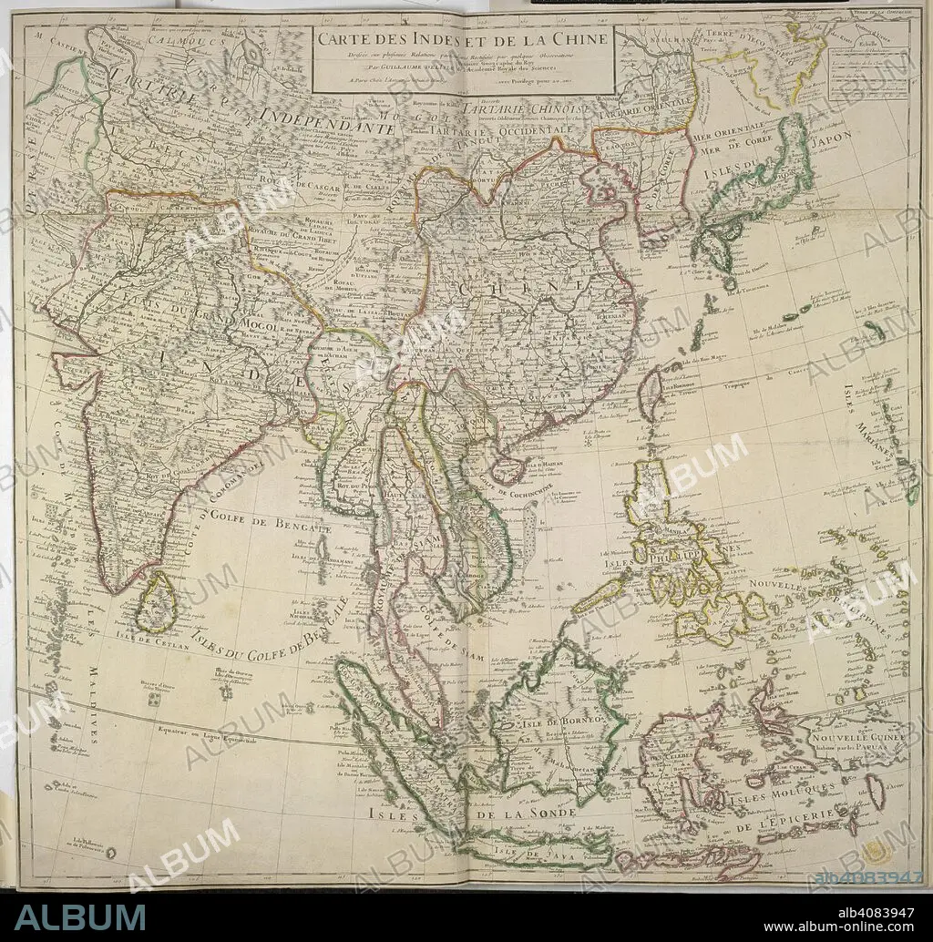
GUILLAUME DE L'ISLE. A map of India and China. Carte des Indes et de la Chine. Paris, 1705. Source: Maps K.Top.115.4. Language: French.
| Share |
|---|
 Pinterest Pinterest |
 Twitter Twitter |
 Facebook Facebook |
 Copy link Copy link |
 Email Email |
|
Add to another lightbox |
|
Add to another lightbox |


Author:
Caption:
A map of India and China. Carte des Indes et de la Chine. Paris, 1705. Source: Maps K.Top.115.4. Language: French.
Credit:
Album / British Library
Releases:
Model: No - Property: No
Rights questions?
Rights questions?
Image size:
4366 x 4182 px | 52.2 MB
Print size:
37.0 x 35.4 cm | 14.6 x 13.9 in (300 dpi)
Keywords:
18TH CENTURY • 18TH CENTURY, THE • 18TH • CARTE • CARTOGRAPHIC • CARTOGRAPHY • CHINA • CHINE • CHINESE • HINDOOSTAN • INDIA • INDIAN SUBCONTINENT • INDOSTÁN • L'ISLE, GUILLAUME DE • MAP MAKING • MAP • MAPS • NO ONE • NO-ONE • NOBODY • PLAN (CARTOGRAPHY) • PORCELAIN • XVIII CENTURY
