alb5474396
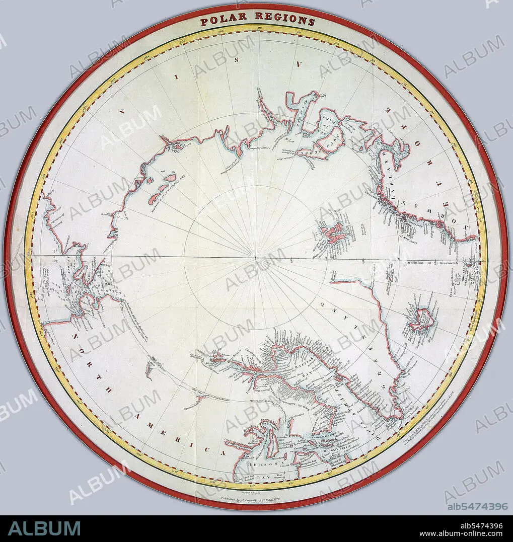
Map of the polar regions ca. 1822 Credit: UBC Library
| Share |
|---|
 Pinterest Pinterest |
 Twitter Twitter |
 Facebook Facebook |
 Copy link Copy link |
 Email Email |
|
Add to another lightbox |
|
Add to another lightbox |


Buy this image.
Select the use:

Title:
Map of the polar regions ca. 1822 Credit: UBC Library
Caption:
Map of the polar regions ca. 1822 Creator: Lizars, William Home, 1788-1859.
Credit:
Album / HUM Images/Universal Images Group
Releases:
Model: No - Property: No
Rights questions?
Rights questions?
Image size:
1991 x 2000 px | 11.4 MB
Print size:
16.9 x 16.9 cm | 6.6 x 6.7 in (300 dpi)
Keywords:
ANTIQUE MAPS • ARCHIVAL IMAGES • ARCHIVAL MAP • ARCHIVAL MAPS • ARCHIVAL PHOTOS • ARCHIVAL • ARCHIVE • ARCHIVES • CELESTIAL GLOBE • GLOBE (GEOGRAPHY) • GLOBE OF THE WORLD • GLOBE • GLOBES: EARTH & CELESTIAL • HISTORIA UNIVERSAL • HISTORIA • HISTORICAL IMAGE • HISTORICAL IMAGES • HISTORICAL MAP • HISTORICAL MAPS • HISTORICAL • HISTORY • HISTORY. • SPHÈRE • VINTAGE IMAGE • VINTAGE IMAGES • VINTAGE MAP • VINTAGE MAPS • WORLD GLOBE
