alb4707936
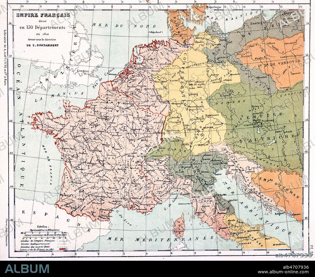
130 departmts,1812

|
Add to another lightbox |
|
Add to another lightbox |


Title:
130 departmts,1812
Caption:
See automatic translation
'Empire francais divise en 130 departements en 1812'. 1er EMPIRE, Carte tiree de l'Atlas geographique de CORTAMBERT, en 1892. Credit : Coll. Jonas/KHARBINE-TAPABOR.
Credit:
Album / Coll. Jonas/KHARBINE-TAPABOR
Releases:
Model: No - Property: No
Rights questions?
Rights questions?
Image size:
2907 x 2406 px | 20.0 MB
Print size:
24.6 x 20.4 cm | 9.7 x 8.0 in (300 dpi)
Keywords:
 Pinterest
 Twitter
 Facebook
 Copy link
 Email
Email

