alb9832885
Palaestina quce et chanaan et terra Promissionis vel terra sancta. Palestine which is also Canaan and the Land of Promise or the Holy Land. 1798 map by cartographer William Faden, engraved by Hatchett. Faden was the royal geographer to King George III. This map comes from his Atlas minimus universalis which was designed mainly for use in schools.
| Share |
|---|
 Pinterest Pinterest |
 Twitter Twitter |
 Facebook Facebook |
 Copy link Copy link |
 Email Email |
|
Add to another lightbox |
|
Add to another lightbox |


Buy this image.
Select the use:

Caption:
Palaestina quce et chanaan et terra Promissionis vel terra sancta. Palestine which is also Canaan and the Land of Promise or the Holy Land. 1798 map by cartographer William Faden, engraved by Hatchett. Faden was the royal geographer to King George III. This map comes from his Atlas minimus universalis which was designed mainly for use in schools.
Credit:
Album / Ken Welsh/Universal History Archive/Universal Images Group
Releases:
Model: No - Property: No
Rights questions?
Rights questions?
Image size:
5324 x 3791 px | 57.7 MB
Print size:
45.1 x 32.1 cm | 17.7 x 12.6 in (300 dpi)
Keywords:
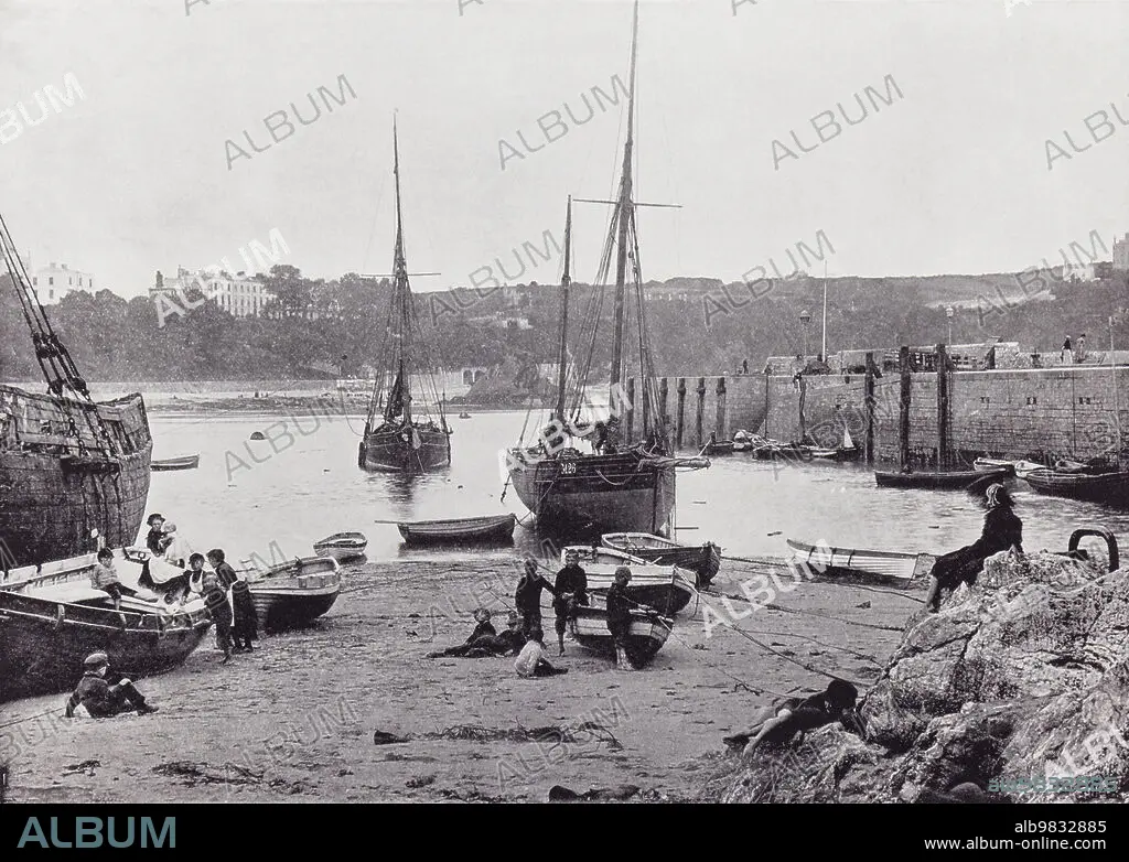
1895 • 19 CENTURY • 19TH CENTURY • 19TH • 19TH-CENTURY • ARCHIVAL • ARCHIVE • ARCHIVES • AROUND THE COAST • BEACH • BOATS' MOORING • BRITISH ISLES • BRITISH • COAST • COASTAL VIEWS • COASTAL • COASTLINE • DECOR • DECORATION • DECORATIVE • ENGLISH • ENGRAVED • ENGRAVING (ARTWORK) • ENGRAVING • ENGRAVING. • ENGRAVINGS • ETCHING • FAMILIAR • FAMILIES • FAMILY • FISHERMEN • HARBOR • HARBOUR • HISTORIA UNIVERSAL • HISTORIA • HISTORICAL • HISTORY • HOLIDAY • HOLIDAYS • ILLUSTRATION • ILLUSTRATIONS • INGLES • MARITIME • NINETEENTH CENTURY • OLD • PANORAMIC VIEW • PEMBROKESHIRE • PERIOD • PHOTOGRAPH • PICTURE • PRINT • RESORT • SANDBANK • SANDS • SEASHORE • SEASIDE • SHORELINE • STANDPOINT • STRAND • TENBY • TOWN • UNSPECIFIED • VACATION • VACATIONS • VICTORIAN ERA • VICTORIAN • VIEWPOINT • VINTAGE • WALES • WALL ART • XIX CENTURY
