alb2654798
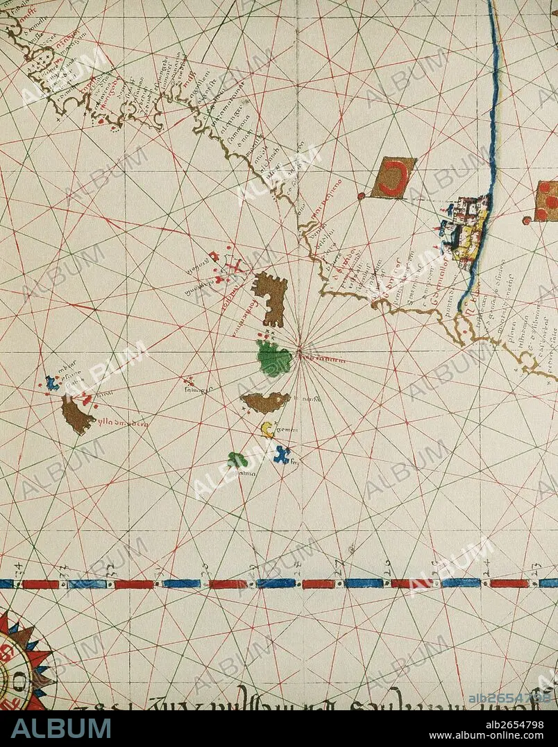
Portolan of Spanish cartographer Joan Martines (16th century). Majorcal school. 1587. Map of the Canary Islands and the west coast of Africa. Messina, Sicily. National Library. Madrid. Spain.
| Share |
|---|
 Pinterest Pinterest |
 Twitter Twitter |
 Facebook Facebook |
 Copy link Copy link |
 Email Email |
|
Add to another lightbox |
|
Add to another lightbox |


Buy this image.
Select the use:

Caption: Portolan of Spanish cartographer Joan Martines (16th century). Majorcal school. 1587. Map of the Canary Islands and the west coast of Africa. Messina, Sicily. National Library. Madrid. Spain.
Credit: Album / Prisma
Releases: ? Model Release: No - ? Property Release: No
Rights questions?
Rights questions?
Image size: 3991 × 5083 px | 58.0 MB
Print size: 33.8 × 43.0 cm | 1571.3 × 2001.2 in (300 dpi)
Keywords: 1587 • 16 16TH XVI XVITH SIXTEENTH CENTURY • 16 CENTURY • 16TH CENTURY • 16TH • AFRICA • AFRICAN CONTINENT • AFRICAN • AGE OF DISCOVERY • AMERICA • AMERICA. • AMERICAN • AMERICANS • AMERICAS • AMERICAS, THE • ANCIENT CARTOGRAPHY • ART • ARTS • ATLANTE • ATLANTEAN • ATLANTIC OCEAN • ATLANTIC • ATLAS PORTOLANO • ATLAS • BOOKSHOP • CANARIAS • CANARY ISLANDS • CARTOGRAPHER • CARTOGRAPHY • COAST AFRICA • COAST • COASTAL • COASTLINE • DISCOVERY • GEOGRAFIA • GEOGRAPHY • HISTORIA UNIVERSAL • HISTORIA • HISTORY OF NAVIGATION • HISTORY • HISTORY. • JOAN MARTINES • LEGEND • LIBRARY • MAJORCAN SCHOOL • MAP MAKING • MAP • MAPMAKER • MAPPING • MAPS • MARITIME • MARTINES • MODERN AGE • MODERN ERA • MODERN PERIOD • NAUTICAL CHART • NAVIGATIONAL MAP • OCEAN, ATLANTIC • OLD MAP • PAISAJE • PLAN (CARTOGRAPHY) • PORTOLAN CHART • PORTOLAN • PORTOLANO • PORTULAN • SEA CHART • SEASHORE • SEASIDE • SHORELINE • SICILY • SPAIN • XVI CENTURY
