alb8362793
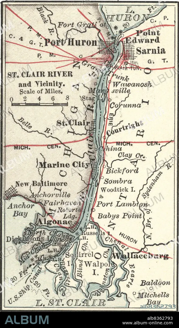
Map of Saint Clair River and Port Huron
| Share |
|---|
 Pinterest Pinterest |
 Twitter Twitter |
 Facebook Facebook |
 Copy link Copy link |
 Email Email |
|
Add to another lightbox |
|
Add to another lightbox |


Caption:
Map of Saint Clair River and Port Huron
Credit:
Album / Universal Images Group / Encyclopaedia Britannica
Releases:
Model: No - Property: No
Rights questions?
Rights questions?
Image size:
2262 x 3947 px | 25.5 MB
Print size:
19.2 x 33.4 cm | 7.5 x 13.2 in (300 dpi)
Keywords:
10TH EDITION • 1900 • 1900S • 1990S • 19TH CENTURY • 19TH • 90S • ALGONAE • ANCHOR BAY • BALDOON • BOUNDARIES • BOUNDARY • CARTOGRAPHY • COURTRIGHT • DETAIL • EARLY 20TH CENTURY • EARLY TWENTIETH CENTURY • EXPLORATION • FORT GRATI • FRONTIER • GEOGRAPHICAL • GEOGRAPHY • HISTORIA UNIVERSAL • HISTORIA • HISTORICAL • HISTORY • INTERNATIONAL BOUNDARY • L. HURON • LACUNA • LAKE HURON • LAKE ST CLAIR • LAKE • LIMIT • MAP MAKING • MAP • MAPS • MARINE CITY • MITCHELLS BAY • NEW BALTIMORE • NINETEENTH CENTURY • NINETIES • NINETIES, THE • NINETY DECADE • NORTH CHANNEL • ONTARIO • PLAN (CARTOGRAPHY) • POINT EDWARD • POLITICAL MAP • POND • PORT HURON • RIVER • SAINT CLAIR RIVER • SARNIA • ST. CLAIR RIVER • TENTH EDITION • VERTICAL LINES • VERTICAL • WALLACEBURG • WALPOLE • XIX CENTURY
