alb4537440
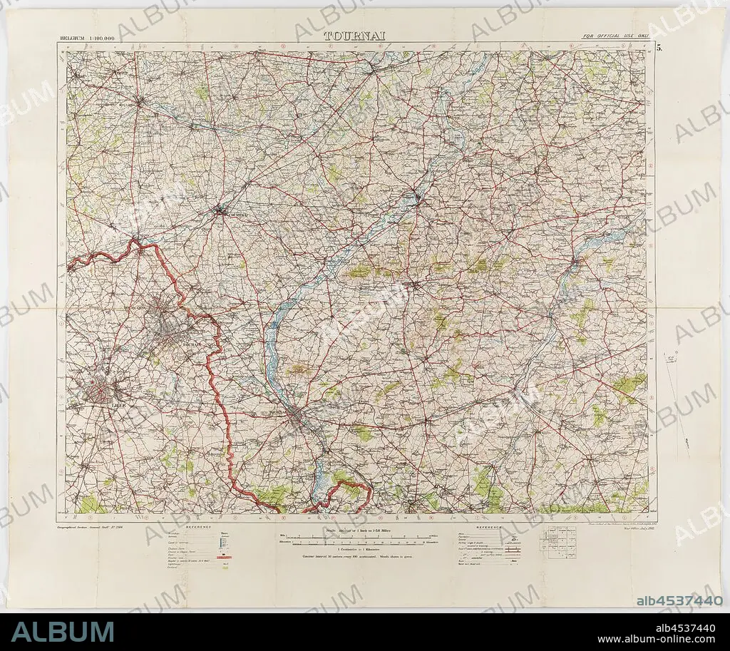
Map - Military, Belgium, Tournai 5, Scale 1:100,000, World War I, Jul 1912, Map of Belgium - Sheet Tournai, 5, scale 1:100,000. The map was photo-etched at the Ordnance Survey Office, Southampton, in 1912, and was published by the War Office, July 1912. The map is labelled Geographical Section, General Staff, No. 2364. It would have been in use during World War I. Part of the collection of World War I memorabilia donated by Sergeant John Lord (#6252). John Lord was 19.
| Share |
|---|
 Pinterest Pinterest |
 Twitter Twitter |
 Facebook Facebook |
 Copy link Copy link |
 Email Email |
|
Add to another lightbox |
|
Add to another lightbox |


Buy this image.
Select the use:

Caption:
Map - Military, Belgium, Tournai 5, Scale 1:100,000, World War I, Jul 1912, Map of Belgium - Sheet Tournai, 5, scale 1:100,000. The map was photo-etched at the Ordnance Survey Office, Southampton, in 1912, and was published by the War Office, July 1912. The map is labelled Geographical Section, General Staff, No. 2364. It would have been in use during World War I. Part of the collection of World War I memorabilia donated by Sergeant John Lord (#6252). John Lord was 19
Credit:
Album / quintlox
Releases:
Image size:
3900 x 3275 px | 36.5 MB
Print size:
33.0 x 27.7 cm | 13.0 x 10.9 in (300 dpi)
Keywords:
#6252 • 000 • 100 • 19 • 1912 • 1ST WORLD WAR • 2364 • 5 • BELGIUM • COLLECTION • FIRST WORLD WAR • GENERAL STAFF • I WORLD WAR • JOHN LORD • JUL 1912 • JULY 1912 • LABELLED GEOGRAPHICAL SECTION • MAP • MAPS • MILITARY • NO • OFFICERS' STAFF • ORDNANCE SURVEY OFFICE • PART • PHOTO-ETCHED • PLAN (CARTOGRAPHY) • PUBLISHED • SCALE 1 • SERGEANT JOHN LORD • SHEET TOURNAI • SOUTHAMPTON • TOURNAI 5 • WAR OFFICE • WORLD WAR 1 • WORLD WAR I (1914-18) • WORLD WAR I MEMORABILIA DONATED • WORLD WAR I • WORLD WAR ONE • WWI
