alb4614684
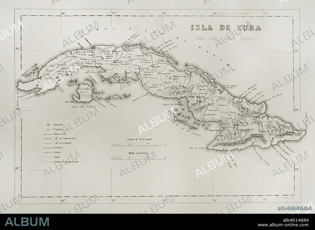
Map of the Island of Cuba (Spanish colonial period). Engraving. Crónica General de España, Historia Ilustrada y Descriptiva de sus Provincias (General Chronicle of Spain, Illustrated and Descriptive History of its Provinces), Antilles, 1871.
| Share |
|---|
 Pinterest Pinterest |
 Twitter Twitter |
 Facebook Facebook |
 Copy link Copy link |
 Email Email |
|
Add to another lightbox |
|
Add to another lightbox |


Buy this image.
Select the use:

Caption: Map of the Island of Cuba (Spanish colonial period). Engraving. Crónica General de España, Historia Ilustrada y Descriptiva de sus Provincias (General Chronicle of Spain, Illustrated and Descriptive History of its Provinces), Antilles, 1871.
Location: PRIVATE COLLECTION
Credit: Album / Prisma
Releases: ? Model Release: No - ? Property Release: No
Rights questions?
Rights questions?
Image size: 4724 × 3211 px | 43.4 MB
Print size: 40.0 × 27.2 cm | 1859.8 × 1264.2 in (300 dpi)
Keywords: 1871 • 19 CENTURY • 19TH CENTURY • 19TH CENTURY. • 19TH • 19TH-CENTURY • ANCIENT CARTOGRAPHY • ANCIENT MAP • ANTILLES • ARCHIPELAGO • CARIBBEAN SEA • CARIBBEAN • CARTOGRAPHY • CAYOS DE LAS DOCE LEGUAS • CAYOS OF THE TWELVE LEAGUES • CIENFUEGOS • COLONIAL ERA • COLONIAL PERIOD • COLONIAL • COLONIALISM • CUBA • ENGRAVED • ENGRAVING (ARTWORK) • ENGRAVING • ENGRAVING. • ENGRAVINGS • ETCHING • GARDENS OF THE QUEEN • GEOGRAFIA • GEOGRAPHY • GREATER ANTILLES • HAVANA • HAVANA, • HISTORIA UNIVERSAL • HISTORIA • HISTORY • HISTORY. • HOLGUIN • ISLA DE LA JUVENTUD • ISLA • ISLAND OF CUBA • ISLAND • ISLANDS • ISLE OF PINES • ISLE OF YOUTH • JARDINES DE LA REINA • LA HABANA • LABERINTO DE LAS DOCE LEGUAS • LABYRINTH OF THE TWELVE LEAGUES • LABYRINTH OF THE TWELVE LEAGUES, THE • MANZANILLO • MAP KEY • MAP LEGEND • MAP MAKING • MAP • MAPPING • MAPS • MATANZAS • NINETEENTH CENTURY • OLD MAP • OVERSEA • OVERSEAS TERRITORY • OVERSEAS • PINAR DEL RIO • PLAN (CARTOGRAPHY) • PRINT • PRIVATE COLLECTION • PROVINCE • PROVINCES • SPAIN • SPANISH COLONIAL PERIOD • SPANISH COLONY • SPANISH EMPIRE • SPANISH • TERRITORIAL • TERRITORY • TRINIDAD • TRINITY • WEST INDIES • XIX CENTURY • XIX
