alb3929594
Map of Argyllshire, 1924-1926. Artist: Unknown
| Share |
|---|
 Pinterest Pinterest |
 Twitter Twitter |
 Facebook Facebook |
 Copy link Copy link |
 Email Email |
|
Add to another lightbox |
|
Add to another lightbox |


Title:
Map of Argyllshire, 1924-1926. Artist: Unknown
Caption:
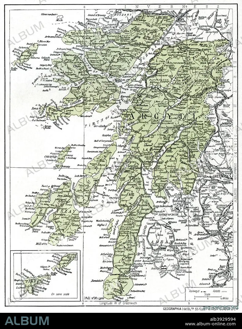
Map of Argyllshire, 1924-1926. The Western Isles including Islay, Jura and Mull. Illustration from Hutchinson's Britain Beautiful, edited by Walter Hutchinson, volume I, (Hutchinson and Co, 1924-1926).
Credit:
Album / The Print Collector / Heritage Images
Releases:
Model: No - Property: No
Rights questions?
Rights questions?
Image size:
3671 x 4756 px | 50.0 MB
Print size:
31.1 x 40.3 cm | 12.2 x 15.9 in (300 dpi)
Keywords:
1920S • 20TH CENTURY • ARGYLL AND BUTE • ARGYLLSHIRE • CENTURY • COAST • COLOR • COLOUR • COUNTRY • HEBRIDES • ISLAND OF MULL • ISLAND • ISLAY • ISLE OF MULL • LOCATION • MAP • MULL • SCOTLAND • TWENTIES
