alb4063564
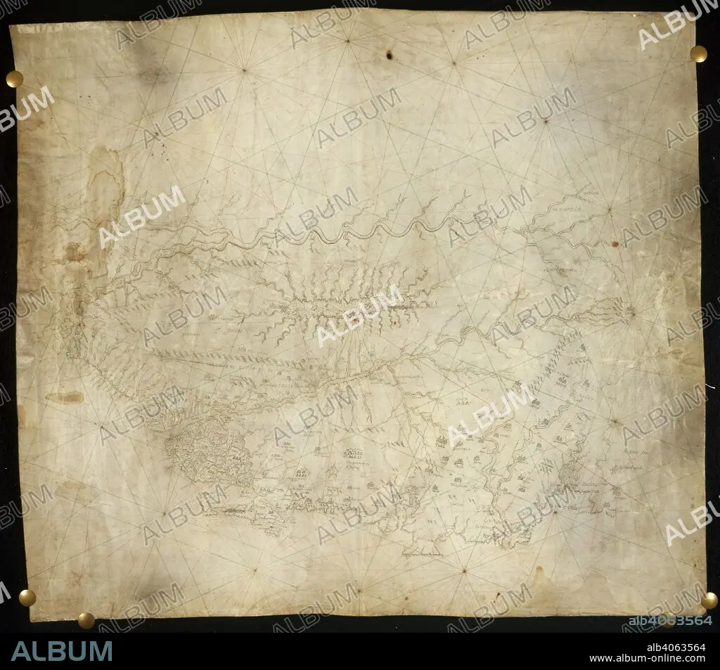
Map of Guiana. circa 1660. (Whole map) Map of part of the north coast of South America, with the courses of the River Orinoco and River Amazon Originally published/produced in circa 1660. . Source: Add. 17940 A,.
| Share |
|---|
 Pinterest Pinterest |
 Twitter Twitter |
 Facebook Facebook |
 Copy link Copy link |
 Email Email |
|
Add to another lightbox |
|
Add to another lightbox |


Buy this image.
Select the use:

Caption:
Map of Guiana. circa 1660. (Whole map) Map of part of the north coast of South America, with the courses of the River Orinoco and River Amazon Originally published/produced in circa 1660. . Source: Add. 17940 A,.
Credit:
Album / British Library
Releases:
Model: No - Property: No
Rights questions?
Rights questions?
Image size:
5839 x 5132 px | 85.7 MB
Print size:
49.4 x 43.5 cm | 19.5 x 17.1 in (300 dpi)
Keywords:
AMAZON • AMERICA • AMERICAS • CARTE • CARTOGRAPHIC • CARTOGRAPHY • COAST • COASTAL • COASTLINE • GUIANA • GUIANAS • LAND FEATURES • LATIN AMERICA • LATIN AMERICAN • LATINOAMERICA • MAP MAKING • MAP • MAPS • MARITIME • PLAN (CARTOGRAPHY) • RIVER • SEACOAST • SEAFRONT • SEASCAPE WITH BEACH • SEASHORE • SEASIDE • SHORELINE • SOUTH AMERICA • SUDAMERICA • TOPOGRAPHY • WATER FEATURES
