alb8362426
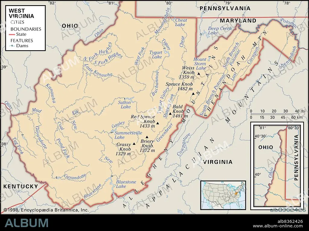
Physical map of West Virginia
| Share |
|---|
 Pinterest Pinterest |
 Twitter Twitter |
 Facebook Facebook |
 Copy link Copy link |
 Email Email |
|
Add to another lightbox |
|
Add to another lightbox |


Caption:
Physical map of West Virginia
Credit:
Album / Universal Images Group / Encyclopaedia Britannica
Releases:
Model: No - Property: No
Rights questions?
Rights questions?
Image size:
3825 x 2672 px | 29.2 MB
Print size:
32.4 x 22.6 cm | 12.7 x 8.9 in (300 dpi)
Keywords:
20 XX TWENTIETH CENTURY • 20TH CENTURY • 20TH • ALLEGHENY MOUNTAINS • ALLEGHENYS • AMERICA • AMERICAS • ATLANTIC STATES • BALD KNOB • BLUESTONE LAKE • BRIERY KNOB • CARTOGRAPHY • COWPASTURE • DEEP CREEK LAKE • DETAIL • EEUU • EXPLORATION • GEOGRAPHICAL • GEOGRAPHY • GRASSY KNOB • GUYANDOTTE RIVER • HORIZONTAL • KANAWHA RIVER • LOCATOR • MAP MAKING • MAP • MAPS • NORTH AMERICA • NORTH AMERICAN • PHYSICAL FEATURE • PHYSICAL MAP • PLAN (CARTOGRAPHY) • POTOMAC • RED SPRUCE • SHENANDOAH MOUNTAIN • SHENANDOAH MTN. • SOUTH • SOUTHERN STATES • SPRUCE KNOB • STATE • STATES • SUTTON LAKE • TWENTIETH CENTURY • U. S. A • UNITED STATES • US • WEISS KNOB • WEST VIRGINIA
