alb3936211
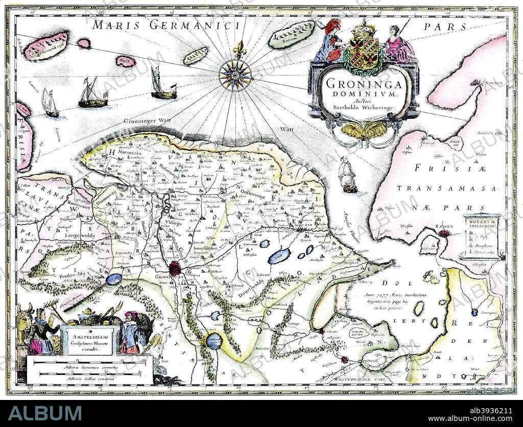
Map of Groningen, Netherlands, 17th century Artist: Unknown
| Share |
|---|
 Pinterest Pinterest |
 Twitter Twitter |
 Facebook Facebook |
 Copy link Copy link |
 Email Email |
|
Add to another lightbox |
|
Add to another lightbox |


Buy this image.
Select the use:

Title:
Map of Groningen, Netherlands, 17th century Artist: Unknown
Caption:
Map of Groningen, Netherlands, 17th century. A map of the Dutch province of Groningen, published by Willem Blaeu after the original design by Barthold Wicheringe.
Credit:
Album / Print Collector / Heritage Images
Releases:
Image size:
4777 x 3659 px | 50.0 MB
Print size:
40.4 x 31.0 cm | 15.9 x 12.2 in (300 dpi)
Keywords:
17TH CENTURY • BARTHOLD WICHERINGE; WICHERINGE • BARTHOLD; BARTHOLDUS WICHERINGE • BLAEU • CARTOGRAPHY • CENTURY • COAST • COUNTRY • DUTCH • GEOGRAFIA • GEOGRAPHICAL FEATURE • GEOGRAPHY • GRONINGEN • HOLLAND • LOCATION • MAP MAKING • MAP • MAP-MAKING • NETHERLANDS • NORTH SEA • SEA • SEVENTEENTH CENTURY • WILLEM BLAEU • WILLEM JANSZOON
