alb9831914
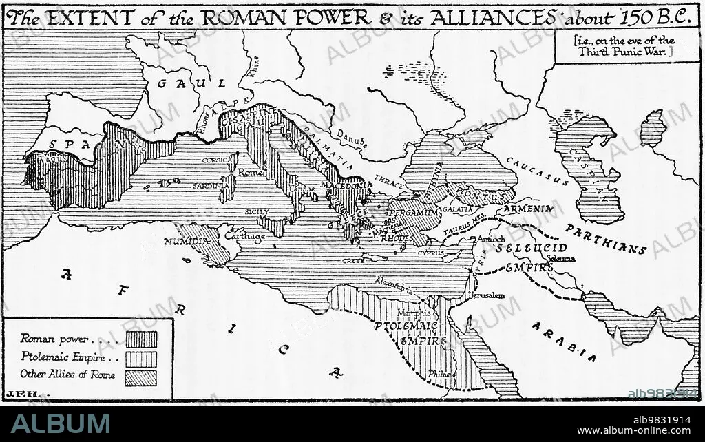
Map of the possible outline of Europe and Western Asia at the maximum of the fourth ice age. From A Short History of the World, published c.1936
| Share |
|---|
 Pinterest Pinterest |
 Twitter Twitter |
 Facebook Facebook |
 Copy link Copy link |
 Email Email |
|
Add to another lightbox |
|
Add to another lightbox |


Buy this image.
Select the use:

Caption:
Map of the possible outline of Europe and Western Asia at the maximum of the fourth ice age. From A Short History of the World, published c.1936
Credit:
Album / Ken Welsh/Universal History Archive/Universal Images Group
Releases:
Image size:
5790 x 3330 px | 55.2 MB
Print size:
49.0 x 28.2 cm | 19.3 x 11.1 in (300 dpi)
Keywords:
ALLIANCES • ARCHIVAL • ARCHIVE • ARCHIVES • B. C. • C. 150 BC • CARTOGRAPHY • COUNTRIES • COUNTRY • ENGRAVED • ENGRAVING (ARTWORK) • ENGRAVING • ENGRAVING. • ENGRAVINGS • ETCHING • EXTENT • GEOGRAFIA • GEOGRAPHICAL • GEOGRAPHY • HISTORIA UNIVERSAL • HISTORIA • HISTORICAL • HISTORY • HISTORY. • ILLUSTRATION • ILLUSTRATIONS • ILUSTRATION • MAP MAKING • MAP • MAPMAKING • MAPS • OLD • PERIOD • PICTURE • PLAN (CARTOGRAPHY) • PRINT • ROMAN EMPIRE • ROMAN POWER • THIRD PUNIC WAR • UNSPECIFIED • VINTAGE
