alb5396813
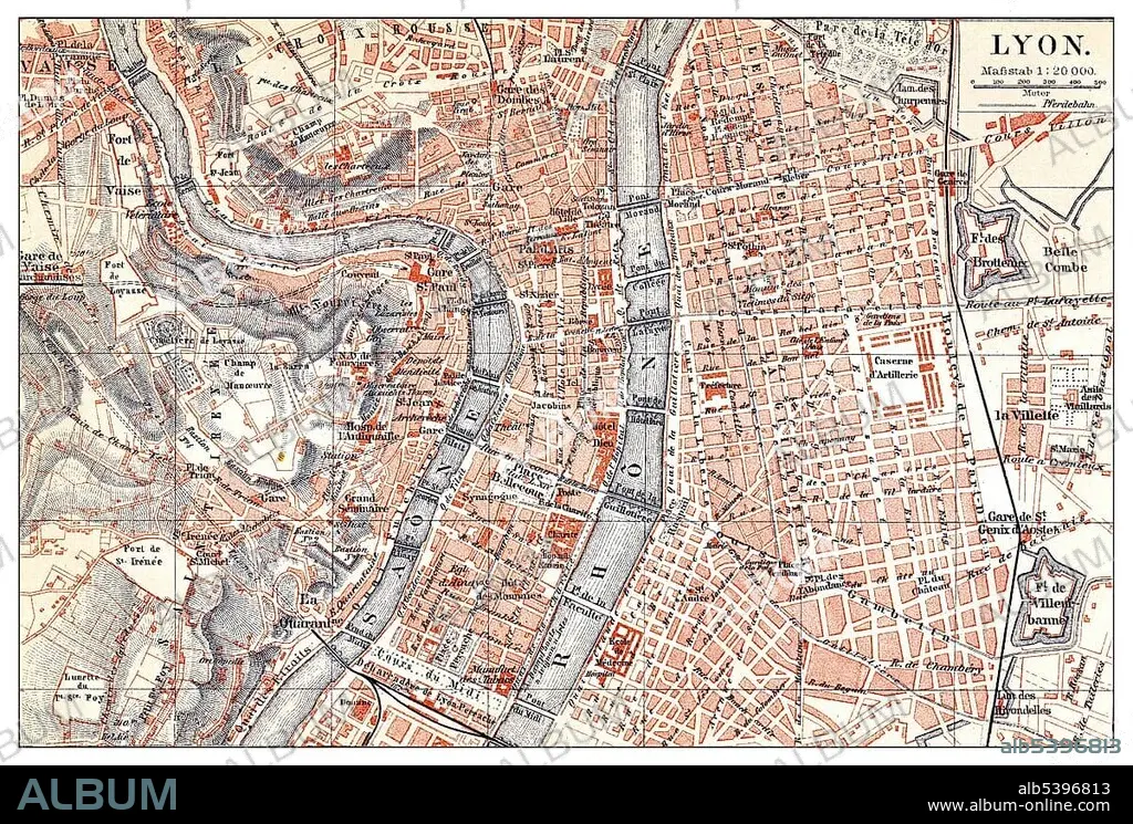
Historical map of Lyon, France, 19th century, from Meyers Konversations-Lexikon encyclopaedia, 1890, Europe.
| Share |
|---|
 Pinterest Pinterest |
 Twitter Twitter |
 Facebook Facebook |
 Copy link Copy link |
 Email Email |
|
Add to another lightbox |
|
Add to another lightbox |


Buy this image.
Select the use:

Caption: Historical map of Lyon, France, 19th century, from Meyers Konversations-Lexikon encyclopaedia, 1890, Europe
Credit: Album / ImageBroker / H.-D. Falkenstein
Releases: ? Model Release: No - ? Property Release: No
Rights questions?
Rights questions?
Image size: 5090 × 3441 px | 50.1 MB
Print size: 43.1 × 29.1 cm | 2003.9 × 1354.7 in (300 dpi)
Keywords: 19TH CENTURY • AGE • ÂGÉS • AUS • BOOK • BOOKING • BOOKS • CADRE • CITY MAP • CITY MAPS • DEPICTION • DEPICTIONS • ENCYCLOPEDIA • ENCYLOPEDIAS • EUROPE • FIGURE • FIGURES • FRANCE • HISTORIC • HISTORICAL • HISTORY • IMAGE MOTIF • IMAGES • IN PAINTINGS • INTERIORS: IN PAINTINGS • LABOR • LABOUR • LYON • MEYERS KONVERSATIONS-LEXIKON • MEYERS LEXIKON • NINETEENTH CENTURY • OLD AGE • OLD • PAINTING (ACTIVITY) • PAINTING • PAINTINGS • PICTURE • PICTURES • PLAN • PLANNING • PLANS • REFERENCE BOOK • REFERENCE BOOKS • WORK • WORKING • WORKS
