alb8361838
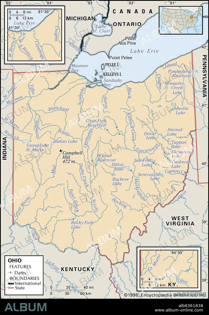
Physical map of Ohio
| Share |
|---|
 Pinterest Pinterest |
 Twitter Twitter |
 Facebook Facebook |
 Copy link Copy link |
 Email Email |
|
Add to another lightbox |
|
Add to another lightbox |


Buy this image.
Select the use:

Caption:
Physical map of Ohio
Credit:
Album / Universal Images Group / Encyclopaedia Britannica
Releases:
Model: No - Property: No
Rights questions?
Rights questions?
Image size:
2673 x 3825 px | 29.3 MB
Print size:
22.6 x 32.4 cm | 8.9 x 12.7 in (300 dpi)
Keywords:
20 20TH XX XXTH TWENTIETH CENTURY • 20 XX TWENTIETH CENTURY • 20TH CENTURY • 20TH • AMERICA • AMERICAS • AMERICAS, THE • BAHIA • BAY • BAYS • BERLIN LAKE • CAMPBELL HILL • CARTOGRAPHY • CHAGRIN • CUYAHOGA • DETAIL • DILLON LAKE • EEUU • EXPLORATION • GEOGRAPHICAL • GEOGRAPHY • GRAND LAKE ST. MARYS • GT. MIAMI • HOOVER RESERVOIR • INSET • LAKE ERIE • LOCATOR • MAP MAKING • MAP • MAPS • MIDDLE WEST • MIDWEST • MIDWESTERN STATES • OHIO RIVERS • OHIO • PELEE ISLAND • PHYSICAL FEATURE • PHYSICAL MAP • PLAN (CARTOGRAPHY) • POINT AUX PINS • POINT PELEE • SANDUSKY BAY • STATE • STATES • TWENTIETH CENTURY • U. S. A • UNITED STATES • US • USA • VERTICAL LINES • VERTICAL
