alb9619961
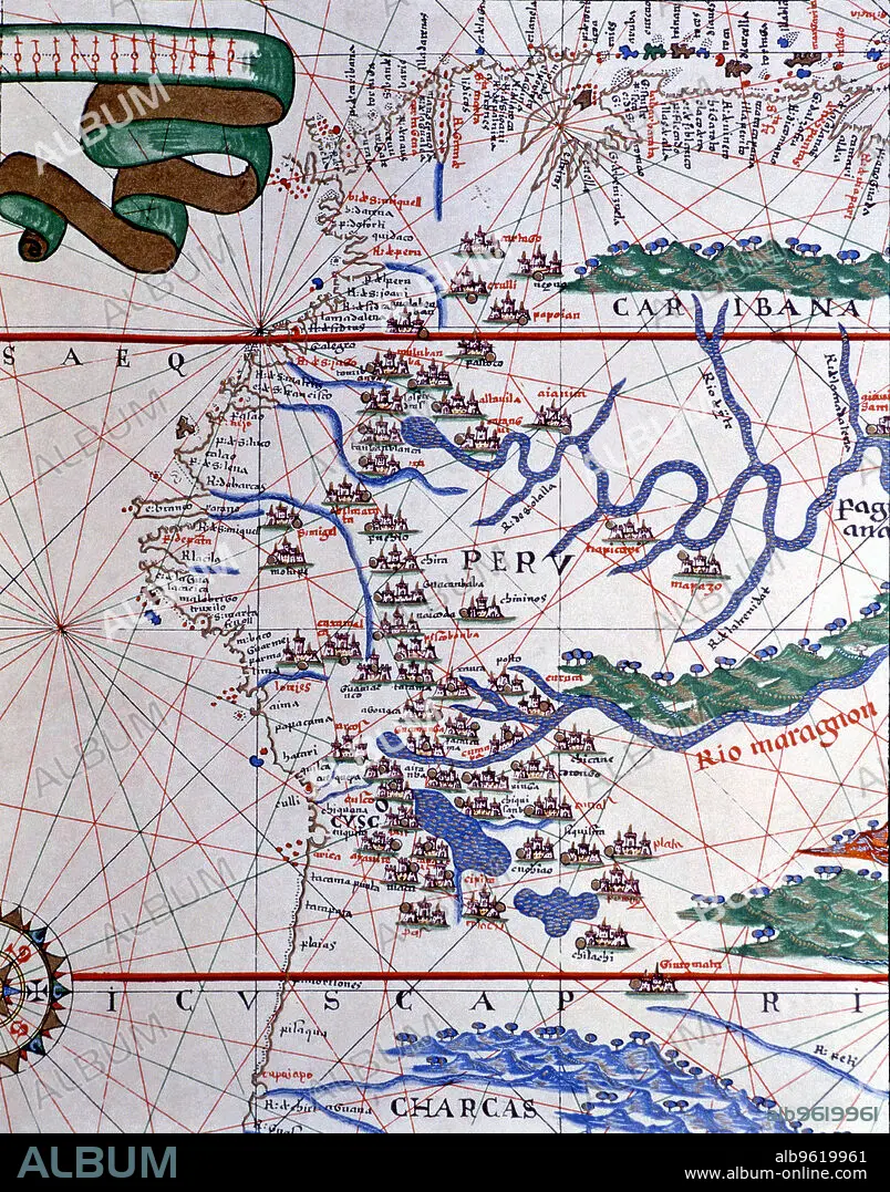
Atlas of Joan Martines, Messina, 1582. Portulan chart of the West Coast of America (Peru, Ecuador…
| Share |
|---|
 Pinterest Pinterest |
 Twitter Twitter |
 Facebook Facebook |
 Copy link Copy link |
 Email Email |
|
Add to another lightbox |
|
Add to another lightbox |


Buy this image.
Select the use:

Title: Atlas of Joan Martines, Messina, 1582. Portulan chart of the West Coast of America (Peru, Ecuador…
Caption: Atlas of Joan Martines, Messina, 1582. Portulan chart of the West Coast of America (Peru, Ecuador and Colombia).
Credit: Album / Mithra/Index/Heritage Images
Releases: ? Model Release: No - ? Property Release: No
Rights questions?
Rights questions?
Image size: 3930 × 5008 px | 56.3 MB
Print size: 33.3 × 42.4 cm | 1547.2 × 1971.7 in (300 dpi)
Keywords: 16 16TH XVI XVITH SIXTEENTH CENTURY • 16 CENTURY • 16TH CENTURY • 16TH • AMERICA • ATLAS • CHART • COAST • COLOMBIA • COLOR • COLOUR • ECUADOR • FLUSH • JOAN • MAPS • MARTINES • MESSINA • PERU • PORTULAN • VERTICAL LINES • VERTICAL • WEST • XVI CENTURY
