alb4080892
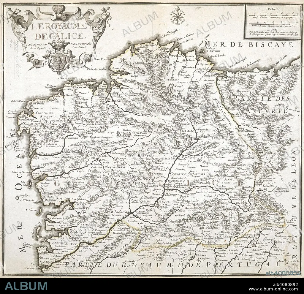
NICOLAS DE FER. A map of the Kingdom of Galicia. Le Royaume de Galice. 1708. Source: Maps K.Top.73.44.
| Share |
|---|
 Pinterest Pinterest |
 Twitter Twitter |
 Facebook Facebook |
 Copy link Copy link |
 Email Email |
|
Add to another lightbox |
|
Add to another lightbox |


Author:
Caption:
A map of the Kingdom of Galicia. Le Royaume de Galice. 1708. Source: Maps K.Top.73.44.
Credit:
Album / British Library
Releases:
Model: No - Property: No
Rights questions?
Rights questions?
Image size:
6984 x 6394 px | 127.8 MB
Print size:
59.1 x 54.1 cm | 23.3 x 21.3 in (300 dpi)
Keywords:
18TH CENTURY • 18TH CENTURY, THE • 18TH • CARTE • CARTOGRAPHIC • CARTOGRAPHY • FER, NICOLAS DE • GALICE • GALICIA • MAP MAKING • MAP • MAPS • NO ONE • NO-ONE • NOBODY • PLAN (CARTOGRAPHY) • SPAIN
