alb2012426
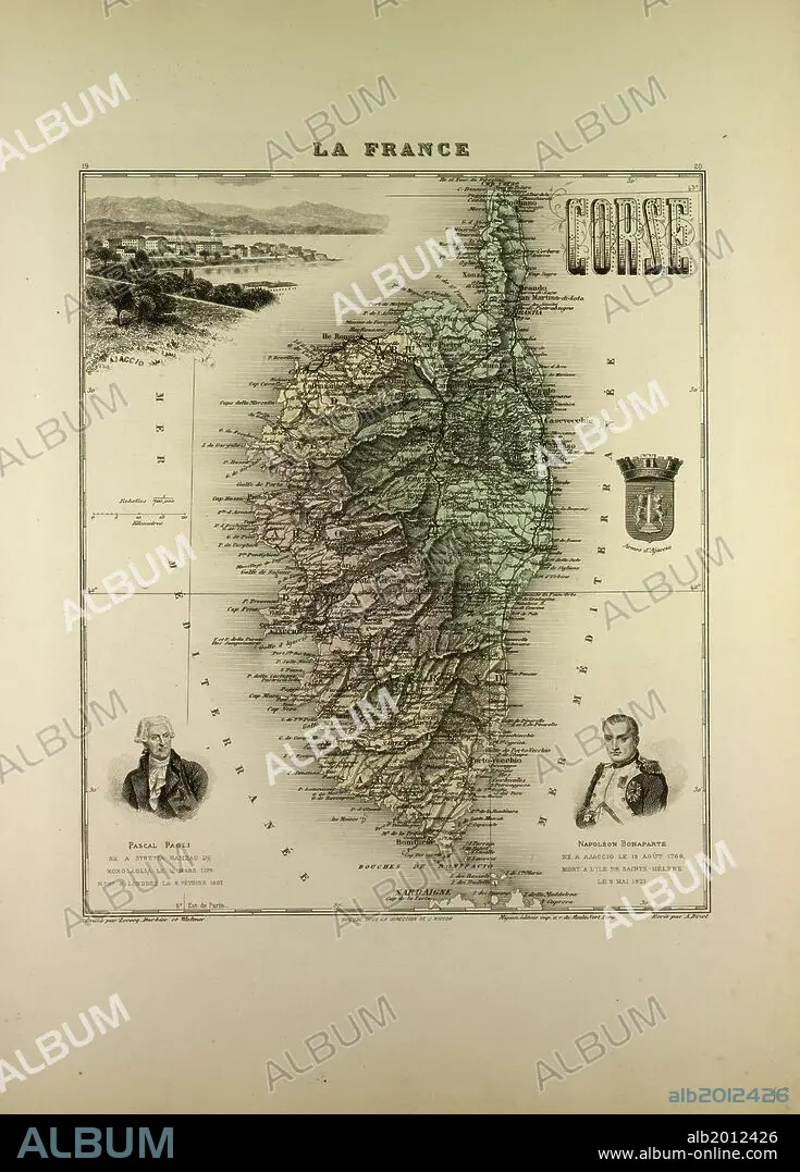
MAP OF CORSE (CORSICA), 1896, FRANCE.
| Share |
|---|
 Pinterest Pinterest |
 Twitter Twitter |
 Facebook Facebook |
 Copy link Copy link |
 Email Email |
|
Add to another lightbox |
|
Add to another lightbox |


Caption:
MAP OF CORSE (CORSICA), 1896, FRANCE
Credit:
Album / quintlox
Releases:
Model: No - Property: No
Rights questions?
Rights questions?
Image size:
4484 x 6248 px | 80.2 MB
Print size:
38.0 x 52.9 cm | 14.9 x 20.8 in (300 dpi)
Keywords:
