alb9843503
WILLEM BLAEU. Map of the surroundings of Zandvliet, 1642. Creator: Willem Blaeu.
| Share |
|---|
 Pinterest Pinterest |
 Twitter Twitter |
 Facebook Facebook |
 Copy link Copy link |
 Email Email |
|
Add to another lightbox |
|
Add to another lightbox |


Buy this image.
Select the use:

Author:
Title:
Map of the surroundings of Zandvliet, 1642. Creator: Willem Blaeu.
Caption:
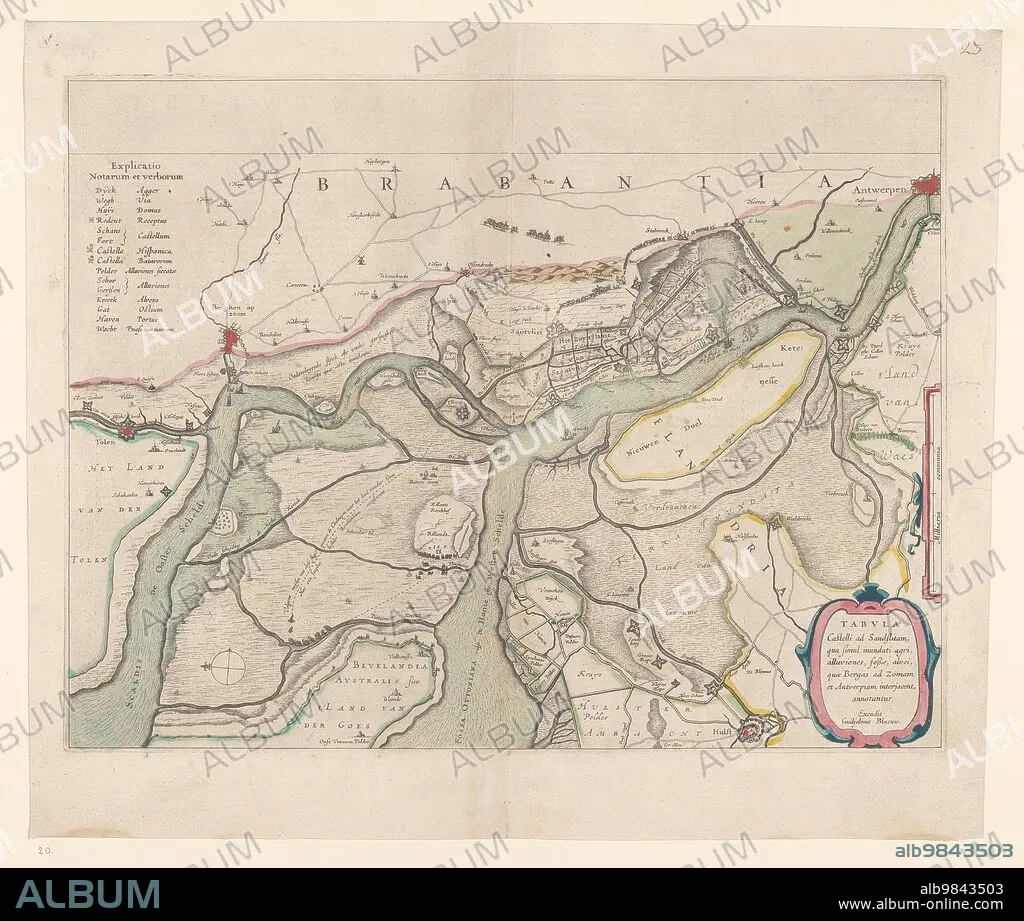
Map of the surroundings of Zandvliet, 1642. The north on the left, the borders coloured, cities, buildings and flags indicated. At the top left Explanation of the symbols on the map.
Credit:
Album / Heritage Art/Heritage Images
Releases:
Model: No - Property: No
Rights questions?
Rights questions?
Image size:
4974 x 4214 px | 60.0 MB
Print size:
42.1 x 35.7 cm | 16.6 x 14.0 in (300 dpi)
Keywords:
17TH CENTURY • ART • ARTS • BANNER • BAROQUE ERA • BAROQUE • BELGIAN • BELGIUM • BLAEU • BLAEU, WILLEM • BUILDING • BUILDINGS • CENTURY • CITIES • CITY • COLOR • COLOUR • CONCEPT • COUNTRY • DRAWING • DUTCH • EUROPE • EXPLANATION • FLAG • FLAGS • HISTORIC • HISTORICAL • HISTORY • LOCATION • LOW COUNTRIES • MAP • MUSEUM • NETHERLANDS • PAPER • RIJKSMUSEUM • ROAD • ROADS • SEVENTEENTH CENTURY • STANDARD • SYMBOL • SYMBOLS • THOROUGHFARE • WATERCOLOUR (PAINT) • WILLEM BLAEU • WILLEM JANSZ BLAEU • WILLEM JANSZ • WILLEM JANSZOON BLAEU • WILLEM JANSZOON
