alb4064959
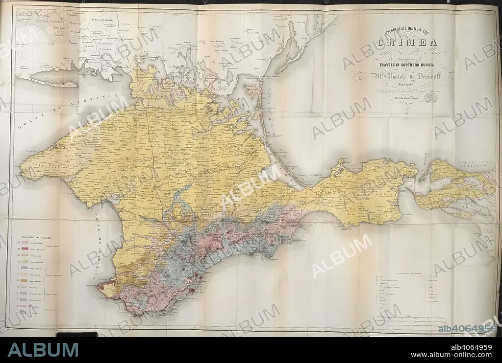
DEMIDOV, ANATOLY NIKOLAEVICH, PRINCE DI SAN DONATO. A 19th century map of the Crimea. Travels in Southern Russia, and the Crimea; through Hungary, Wallachia, & Moldavia, during the year 1837. John Mitchell: London, 1853. Source: 10290.f.2 volume 2,. Language: English.
| Share |
|---|
 Pinterest Pinterest |
 Twitter Twitter |
 Facebook Facebook |
 Copy link Copy link |
 Email Email |
|
Add to another lightbox |
|
Add to another lightbox |


Buy this image.
Select the use:

Caption: A 19th century map of the Crimea. Travels in Southern Russia, and the Crimea; through Hungary, Wallachia, & Moldavia, during the year 1837. John Mitchell: London, 1853. Source: 10290.f.2 volume 2,. Language: English.
Credit: Album / British Library
Releases: ? Model Release: No - ? Property Release: No
Rights questions?
Rights questions?
Image size: 5392 × 3628 px | 56.0 MB
Print size: 45.7 × 30.7 cm | 2122.8 × 1428.3 in (300 dpi)
Keywords: ARISTOCRACY • ARISTOCRAT • ARISTOCRATS • BRITAIN • CARTE • CARTOGRAPHIC • CARTOGRAPHY • COLOR • COLORS • COLOUR • COLOURS • DEMIDOV, ANATOLY NIKOLAEVICH, PRINCE DI SAN DONATO • ENGLAND'S • ENGLAND • FLUSH • GREAT BRITAIN • GREAT-BRITAIN • MAP MAKING • MAP • MAPS • NOBILITY • NOBLE • NOBLEMAN • NOBLES • NOBLESSE • PLAN (CARTOGRAPHY) • PRINCE • PRINCES • ROYALTY • RULING CLASS • RUSIA • RUSSIA • SOCIAL CLASS • SOCIAL ROLE • U. K. • UNITED KINGDOM
