alb3598719
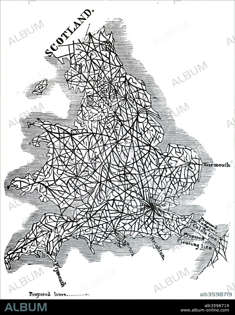
Map of proposed railway lines to run through Britain.
| Share |
|---|
 Pinterest Pinterest |
 Twitter Twitter |
 Facebook Facebook |
 Copy link Copy link |
 Email Email |
|
Add to another lightbox |
|
Add to another lightbox |


Buy this image.
Select the use:

Title:
Map of proposed railway lines to run through Britain.
Caption:
Map of proposed railway lines to run through Britain. Dated 19th century.
Credit:
Album / Universal Images Group / Universal History Archive
Releases:
Image size:
4052 x 5176 px | 60.0 MB
Print size:
34.3 x 43.8 cm | 13.5 x 17.3 in (300 dpi)
Keywords:
19 CENTURY • 19TH CENTURY • 19TH CENTURY. • 19TH • 19TH-CENTURY • BRITAIN • BRITISH RAILWAY • BRITISH • CARGO • CONNECTIVITY • ENGLAND'S • ENGLAND • ENGLISH • GREAT BRITAIN • GREAT-BRITAIN • MAP • MAPS • NINETEENTH CENTURY • PLAN (CARTOGRAPHY) • RAIL • RAILROADS • RAILS • SCOTLAND UNITED KINGDOM • SCOTLAND • TRAIN • TRAINS • TRAIT • TRANSPORT • TRANSPORT. • TRANSPORTATION • TRANSPORTS • U. K. • UK • UNITED KINGDOM • VICTORIAN ERA • VICTORIAN • WALES • XIX CENTURY
