alb4419016
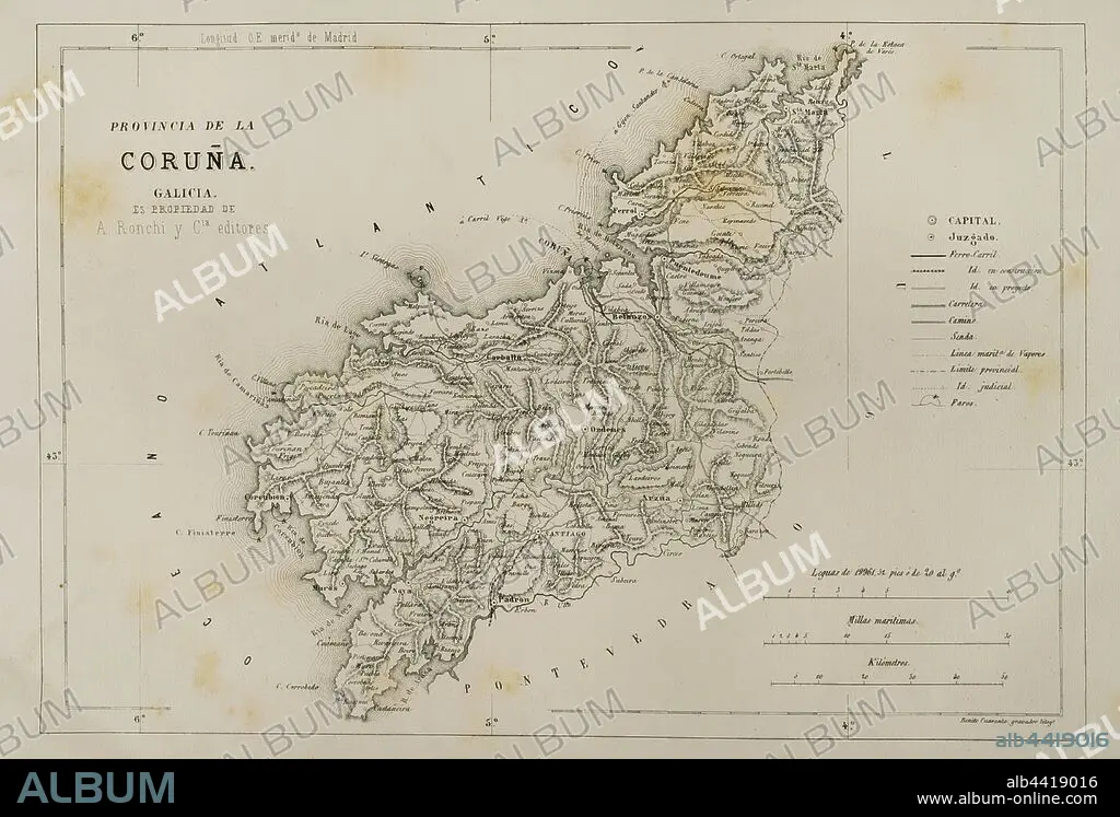
Spain, Galicia. Map of La Coru–a province, 19th century. Cronica General de Espa–a. Historia Ilustrada y Descriptiva de sus Provincias. Galicia, 1866.
| Share |
|---|
 Pinterest Pinterest |
 Twitter Twitter |
 Facebook Facebook |
 Copy link Copy link |
 Email Email |
|
Add to another lightbox |
|
Add to another lightbox |


Buy this image.
Select the use:

Caption: Spain, Galicia. Map of La Coru–a province, 19th century. Cronica General de Espa–a. Historia Ilustrada y Descriptiva de sus Provincias. Galicia, 1866.
Credit: Album / Prisma
Releases: ? Model Release: No - ? Property Release: No
Rights questions?
Rights questions?
Image size: 4815 × 3261 px | 44.9 MB
Print size: 40.8 × 27.6 cm | 1895.7 × 1283.9 in (300 dpi)
Keywords: 1866 • 19 CENTURY • 19TH CENTURY • 19TH CENTURY. • 19TH • 19TH-CENTURY • ARTFORM: LITHOGRAPH • ARZUA • ATLANTIC OCEAN • ATLANTIC • BETANZOS • CARTHOGRAPHY • CARTOGRAPHY • CONTEMPORARY AGE • CORCUBIÓN • CORUNA PROVINCE, A • CORUNA • CORUNA, A • CORUÑA • CRONICA GENERAL DE ESPA–A • CRONICA GENERAL DE ESPANA • CRONICA GENERAL DE ESPAÑA • ENGRAVED • ENGRAVING (ARTWORK) • ENGRAVING • ENGRAVING. • ENGRAVINGS • ETCHING • EUROPA • EUROPE • EUROPEA • EUROPEAN • EUROPEANS • FINISTÈRE • FINISTERRE • GALICE • GALICIA • GALICIAN • GALLEGO • GEOGRAFIA • GEOGRAPHY • HISTORIA ILUSTRADA Y DESCRIPTIVA DE SUS PROVINCIAS • LA CORU–A PROVINCE • LA CORUNA PROVINCE • LA CORUNA • LITHOGRAPH • LITHOGRAPHER • LITHOGRAPHY • MAP MAKING • MAP • MAPPING • MAPS • NINETEENTH CENTURY • NOYA • OCEAN, ATLANTIC • OLD MAP • PLAN (CARTOGRAPHY) • PRINT • PROVINCE • RÍAS ALTAS • SANTIAGO DE COMPOSTELA • SPAIN • SPANISH • TERRITORIAL • TERRITORY • UPPER RIAS • XIX CENTURY
