alb3547973
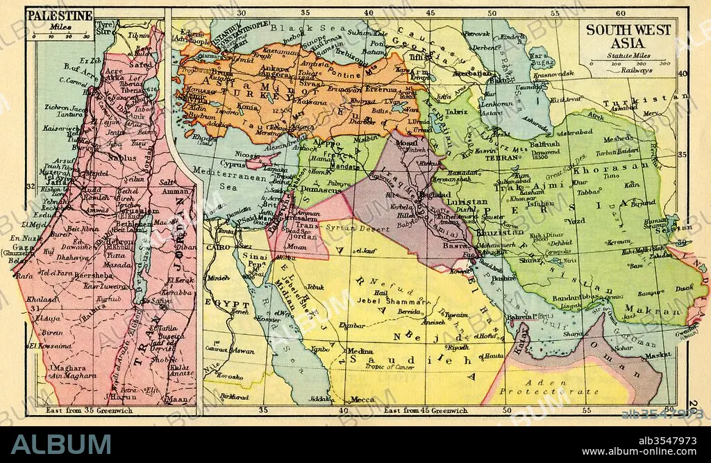
A 1930's map of Palestine, left and south west Asia, right
| Share |
|---|
 Pinterest Pinterest |
 Twitter Twitter |
 Facebook Facebook |
 Copy link Copy link |
 Email Email |
|
Add to another lightbox |
|
Add to another lightbox |


Buy this image.
Select the use:

Title: A 1930's map of Palestine, left and south west Asia, right
Caption: A 1930's map of Palestine, left and south west Asia, right.
Credit: Album / Universal Images Group / Universal History Archive
Releases: ? Model Release: No - ? Property Release: No
Rights questions?
Rights questions?
Image size: 5797 × 3478 px | 57.7 MB
Print size: 49.1 × 29.4 cm | 2282.3 × 1369.3 in (300 dpi)
Keywords: 1930'S • 20 20TH XX XXTH TWENTIETH CENTURY • 20 XX TWENTIETH CENTURY • 20TH CENTURY • 20TH • ASIA • ASIAN • CENTURY • COUNTRIES • COUNTRY • GEOGRAFIA • GEOGRAPHICAL • GEOGRAPHY • HISTORIA UNIVERSAL • HISTORIA • HISTORICAL • HISTORY • HISTORY. • ILLUSTRATION • ILLUSTRATIONS • ILUSTRATION • MAP • MAPS • NINETEEN • PALESTINAN • PALESTINE • PLAN (CARTOGRAPHY) • SOUTH • THIRTIES • TWENTIETH CENTURY • TWENTIETH • WEST
