alb4056304
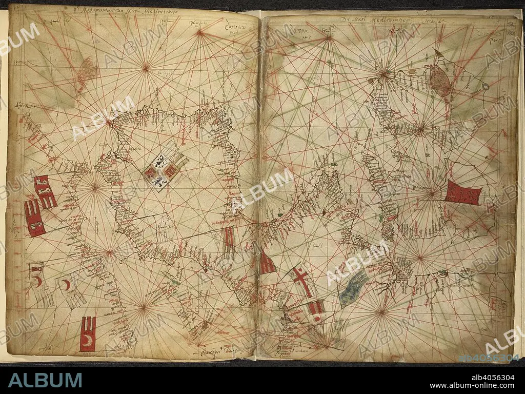
PIETRO VESCONTE. Portolan chart of western Europe and the Mediterranean, with the principal powers indicated by means of flags. Maps for the Liber Secretorum Fidelium Crucis. Italy (Venice); circa 1320-1325. (Whole folios) Portolan chart of western Europe and the Mediterranean, with the principal powers indicated by means of flags. Image taken from Maps for the Liber Secretorum Fidelium Crucis. Originally published/produced in Italy (Venice); circa 1320-1325. . Source: Add. 27376*, ff.180v-181. Language: Latin.
| Share |
|---|
 Pinterest Pinterest |
 Twitter Twitter |
 Facebook Facebook |
 Copy link Copy link |
 Email Email |
|
Add to another lightbox |
|
Add to another lightbox |


Buy this image.
Select the use:

Author: PIETRO VESCONTE
Caption: Portolan chart of western Europe and the Mediterranean, with the principal powers indicated by means of flags. Maps for the Liber Secretorum Fidelium Crucis. Italy (Venice); circa 1320-1325. (Whole folios) Portolan chart of western Europe and the Mediterranean, with the principal powers indicated by means of flags. Image taken from Maps for the Liber Secretorum Fidelium Crucis. Originally published/produced in Italy (Venice); circa 1320-1325. . Source: Add. 27376*, ff.180v-181. Language: Latin.
Credit: Album / British Library
Releases: ? Model Release: No - ? Property Release: No
Rights questions?
Rights questions?
Image size: 6872 × 4798 px | 94.3 MB
Print size: 58.2 × 40.6 cm | 2705.5 × 1889.0 in (300 dpi)
Keywords: 14TH CENTURY • 14TH • 14TH-CENTURY • ARCHIVE • ARCHIVES • CARTE • CARTOGRAPHIC • CARTOGRAPHY • CHART • COLOR • COLORS • COLOUR • COLOURS • DOCUMENT • EUROPA • EUROPE • FLUSH • FOURTEENTH CENTURY • MANUSCRIPT • MAP MAKING • MAP • MAPS • MEDITERRANEAN SEA • MEDITERRANEAN • PIETRO VESCONTE • PLAN (CARTOGRAPHY) • WESTERN EUROPE • XIV CENTURY
