alb3818722
Western Roman Empire, 3rd Century
| Share |
|---|
 Pinterest Pinterest |
 Twitter Twitter |
 Facebook Facebook |
 Copy link Copy link |
 Email Email |
|
Add to another lightbox |
|
Add to another lightbox |


Title:
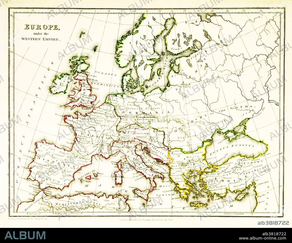
Western Roman Empire, 3rd Century
Caption:
A map of Europe, showing the borders of the Western Roman Empire, which reached its greatest extent around 400 CE. A Western Roman Empire existed intermittently in several periods between the 3rd and 5th centuries (285 - 476 CE). Map published in 1831.
Credit:
Album / Science Source / British Library
Releases:
Model: No - Property: No
Rights questions?
Rights questions?
Image size:
3543 x 2766 px | 28.0 MB
Print size:
30.0 x 23.4 cm | 11.8 x 9.2 in (300 dpi)
Keywords:
3RD CENTURY AD • 3RD CENTURY • ANCIENT CIVILIZATION • ANCIENT CULTURE • ANCIENT • ANTIQUITY • ART • ARTWORK • CARTOGRAPHY • CELEBRITY • DRAWING • EUROPE • EUROPEA • EUROPEAN • FAMOUS • GEOGRAPHIC • GEOGRAPHICAL • GEOGRAPHY • HELLENISTIC CIVILIZATION • HELLENISTIC PERIOD • HELLINISTIC • HISTORIC • HISTORICAL • HISTORY • ILLUSTRATION • ILLUSTRATIONS • IMPORTANT • MAP MAKING • MAP • MAPPING • NOTABLE • ROMAN EMPIRE • ROMAN REPUBLIC • ROMAN • WELL-KNOWN • WESTERN ROMAN EMPIRE
